
SAN ANGELO, TX — A strong cold front will sweep into the San Angelo area on Tuesday, bringing a sharp drop in temperatures and the potential for wintry precipitation, according to the National Weather Service.
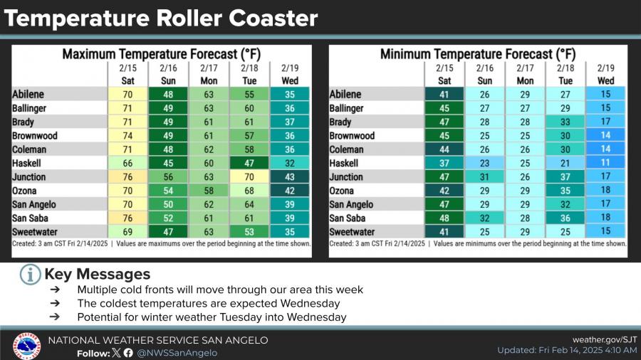
Forecast models indicate that temperatures will likely plummet into the teens on Wednesday and Thursday mornings, with highs struggling to reach above freezing in some areas. Multiple cold fronts are expected to move through the region, contributing to significant temperature swings throughout the week.
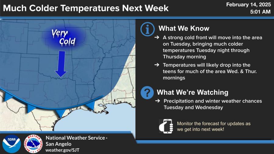
Meteorologists are monitoring the potential for winter weather between Tuesday and Wednesday, though precipitation chances remain uncertain.
Ahead of the front, temperatures on Saturday will be mild, with highs in the 60s and 70s before a temperature drop on Sunday. The cooldown beginning Tuesday night could bring hazardous conditions, including icy roads and wind chills in the single digits.


")
Subscribe to the LIVE! Daily

Required
Post a comment to this article here: