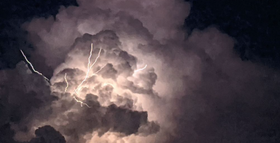
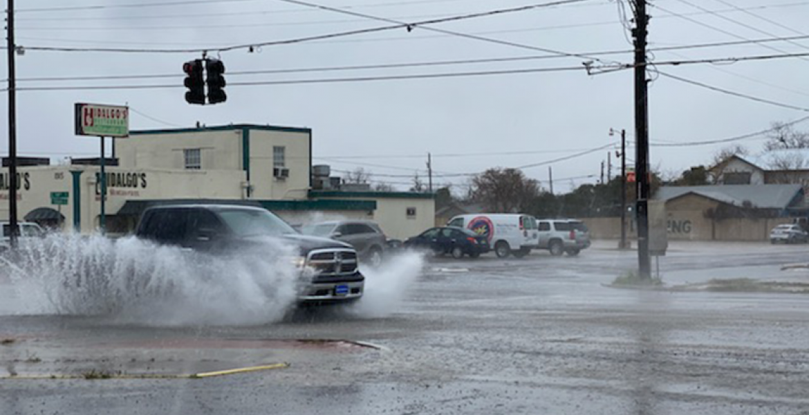
SAN ANGELO, Texas – West Central Texas braces for potential severe weather today as meteorologists warn of impending thunderstorms. Large to very large hail, damaging winds, and the possibility of isolated tornadoes loom as primary concerns throughout the morning and into the afternoon and early evening across the entire area but mainly in the northern Concho Valley and Big Country.
According to forecasts, the Big Country area faces a chance of thunderstorms on Wednesday, with dangerous lightning posing the main hazard. Showers and thunderstorms are expected before 1 pm, followed by a slight chance of precipitation after 4 pm. Some of these storms could reach severe levels, with a high near 78 degrees. East northeast winds of 10 to 15 mph are anticipated, shifting to the north in the afternoon. The likelihood of precipitation stands at 90%, with anticipated new rainfall amounts ranging between a quarter and half of an inch.
Tonight, a 20% chance of showers and thunderstorms persists before 10 pm, with some storms potentially reaching severe levels. Conditions are expected to become partly cloudy, with a low around 48 degrees. Northwest winds of 10 to 15 mph, gusting as high as 20 mph, are expected.
Wednesday is forecasted to be mostly sunny, with a high near 70 degrees. However, windy conditions are expected, with northwest winds of 15 to 20 mph, increasing to 20 to 25 mph in the afternoon. Wind gusts could reach as high as 40 mph.
Wednesday night is anticipated to be clear, with a low around 46 degrees. Breezy conditions are expected, with west northwest winds of 15 to 20 mph diminishing to 5 to 10 mph in the evening. Wind gusts could still reach as high as 30 mph.
Subscribe to the LIVE! Daily
Required


Post a comment to this article here: