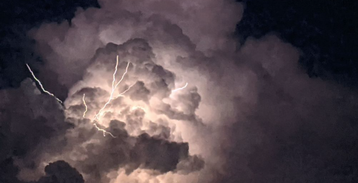
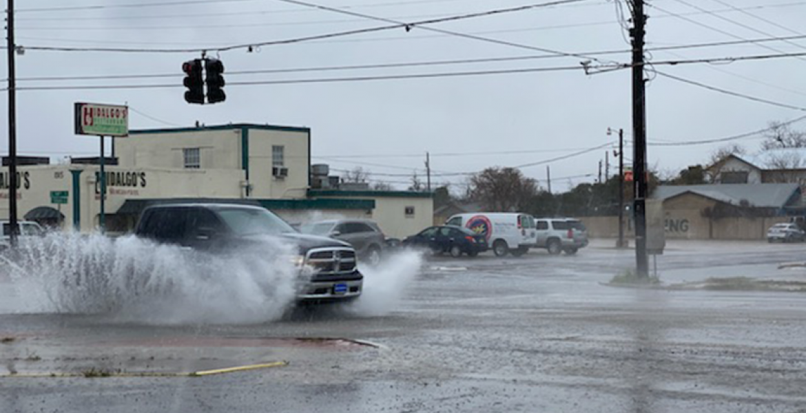
SAN ANGELO – A series of cold fronts and atmospheric disturbances will interact across West Central Texas early this week bringing a good chance for significant rainfall starting Monday afternoon.
According to meteorologists with the National Weather Service office in San Angelo, showers and thunderstorms have already developed from the Big Bend region to Ft. Stockton and will move east into the Concho Valley Monday afternoon. These storms are capable of producing from .5 to .75 inches of rain today.
Another cold front will drop into Texas Tuesday bringing rain chances to the eastern counties of the Concho Valley. A trough will develop to the west on Wednesday and current models show it capable of producing .5 to 2 inches of rain but that's on the upper end of what will actually occur.
Any of these storms have the capability of developing into severe thunderstorms briefly with the main threat being large hail.
There is a 60% chance of rain Monday afternoon, 50% chance Monday night that drops to a 30% chance Tuesday then 50% Tuesday night and Wednesday.
This storm system is not capable of producing the kind of rainfall and runoff needed to impact the ongoing drought. Historically, during periods of extreme drought, the Concho Valley has an above average chance to see rainfall around the Memorial Day weekend, the Independence Day weekend and then again around the Labor Day weekend.
This is a developing weather situation.
Subscribe to the LIVE! Daily
Required


Post a comment to this article here: