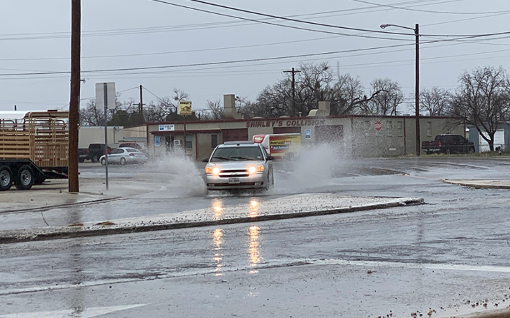
SAN ANGELO – A strong line of thunderstorms is expected to develop west of the Concho Valley Tuesday night and move east bringing strong to severe storms with heavy rain, high winds, lightning and flooding.
According to meteorologists with the National Weather Service in San Angelo, the line of thunderstorms stretching north to south will develop west of the Concho Valley and Big Country between 7 p.m. and 8 p.m. Tuesday and then move east across the area.
The line of thunderstorms will precede a Pacific Cold Front and should extend from Haskell to Abilene to San Angelo to Sonora by 10 p.m. The main threats with this line of thunderstorms will be large hail, damaging winds and localized flooding from heavy rainfall.
The thunderstorm activity should exit the Concho Valley to the east by 7 a.m. Wednesday.
Forecasters believe the storm system is capable of producing up to 1.5 inches of rain so some areas of the Concho Valley and Big Country will experience flooding.
The Pacific Cold Front will also usher in cooler temperatures Tuesday night. Low temperatures are expected to drop into the 40s behind the front. Daytime highs will only reach the 70s region wide.
It will be windy for the rest of the week as well. Expect northwest winds from 15 to 30 mph with higher gusts through Friday evening.
This is a dynamic and changing weather situation and updates will be provided as necessary.
Subscribe to the LIVE! Daily
Required


Post a comment to this article here: