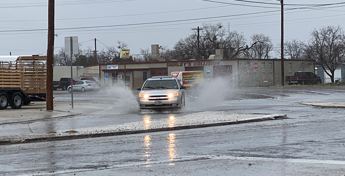
SAN ANGELO, TX – There is a chance for severe thunderstorms with high winds and heavy rain across the Concho Valley overnight.
According to the National Weather Service office in San Angelo, a large band of thunderstorms is expected to move east across West Central Texas this late afternoon and evening. Large hail, and strong to intense damaging winds up to 75 mph are possible. Flooding is also possible as the storms produce quick but locally heavy rainfall amounts of 1 to 2 inches.
A few thunderstorms will be possible east of a Haskell to San Angelo to Sonora line Saturday. The main threat will be dangerous lightning.
Showers and thunderstorms likely tonight, mainly before 10 p. m. Some of the storms could be severe. Cloudy, with a low around 62. South wind 10 to 15 mph becoming east after midnight. Winds could gust as high as 25 mph. Chance of precipitation is 70%. New rainfall amounts between a half and three quarters of an inch possible.
The National Weather Service Storm Prediction Center in Norman, OK has issued a Severe Thunderstorm Watch for the Concho Valley and most of West Texas effective until 10 p.m. Friday night.
Isolated showers and thunderstorms from San Angelo and Grape Creek and Bronte...and from Junction to Brady at 250 PM will move northeast at 20 mph, producing up to 1/10 inch of rainfall through 5 PM. Late this afternoon and evening...a large complex of storms, some severe, is expected move east across West Central Texas. Western sections from Ozona to Sterling City to Sweetwater and Roby may be affected beginning 5 to 6 p.m.. San Angelo and Abilene may be affected by 7 to 8 p.m.
This a developing weather situation. Monitor this site for updated information.
Subscribe to the LIVE! Daily
Required


Post a comment to this article here: