
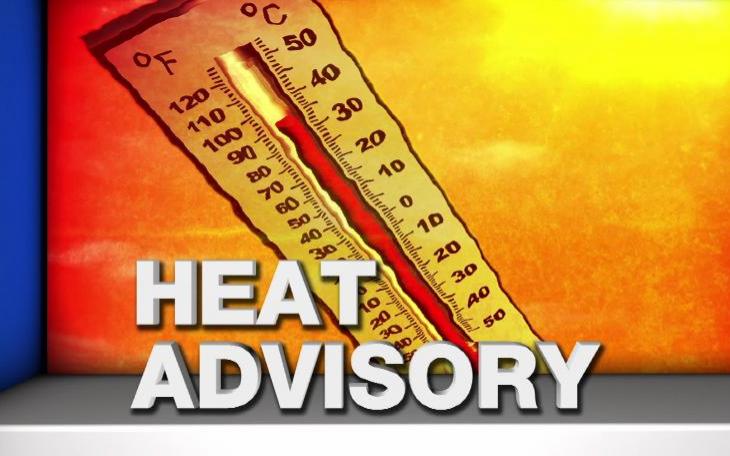
SAN ANGELO, TX – National Weather Service forecasters in San Angelo are predicting record breaking triple digit heat and extreme wildfire danger across west Texas this weekend into early next week.
According to the NWS office in San Angelo, Elevated fire weather conditions will affect areas west of a Haskell, to Abilene, to Mertzon, to Ozona line this afternoon and evening.
This will be due to gusty south winds and very low relative humidities. In addition, there is a slight chance for isolated dry lightning strikes west of a Robert Lee, to Mertzon, to Ozona line during the afternoon and evening hours.
A Fire Danger Statement is in effect for these areas from noon through 7 p.m. Also, temperatures will approach 103 degrees across western counties this afternoon. These hot temperatures could result in an increased risk of heat-related illnesses.
Elevated fire weather conditions will affect the area Monday afternoon due to gusty south winds and low relative humidity values. Temperatures will approach 103 degrees in areas near San Angelo, Sterling City, and Mertzon on Sunday and Monday. These hot temperatures could result in an increased risk for heat-related illnesses.


Subscribe to the LIVE! Daily

Required
Comments
Listed By: Will Jonson
I sat in the comfort of my home with the AC running.
- Log in or register to post comments
PermalinkPost a comment to this article here: