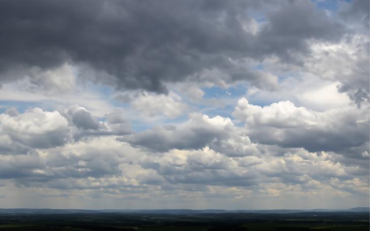
SAN ANGELO, TX – Rain and thunderstorms return to the Concho Valley beginning Wednesday evening and could cause flooding in low lying areas.
According to information from the National Weather Service Office in San Angelo, showers and a few thunderstorms will begin to develop this evening and expand in coverage overnight. The main threat will be dangerous cloud to ground lightning.
Pockets of heavier rainfall will be possible through Friday. These pockets may be heavy enough to produce localized flooding of low lying areas, mainly west of an Abilene to San Angelo line, in addition to the hazard of cloud to ground lightning.
Motorists are urged to avoid flood prone stretches of city streets and intersections when heavy rain occurs causing flooding.
The forecast calls for a 50 percent chance of showers and thunderstorms, mainly after midnight Wednesday. New rainfall amounts of less than a tenth of an inch, except higher amounts possible in thunderstorms.
Rain chances increase Thursday and Friday. Showers likely Thursday with cloudy skies and a high near 46. Northeast wind around 10 mph. Chance of precipitation is 70 percent. New precipitation amounts between a quarter and half of an inch possible.
On Friday rain chances increase to 80 percent with showers. High near 66. South southeast wind 5 to 10 mph becoming southwest in the afternoon. New precipitation amounts between a quarter and half of an inch possible.
This story will be updates as weather conditions change.
Subscribe to the LIVE! Daily
Required


Post a comment to this article here: