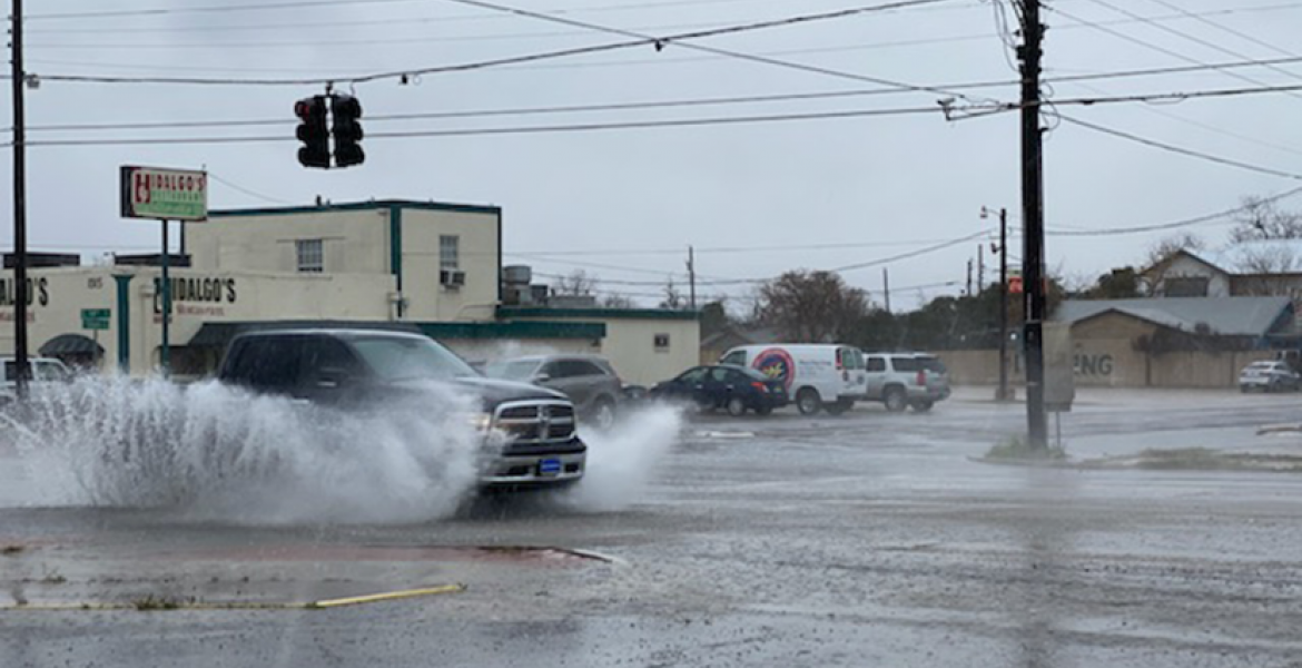
SAN ANGELO, TX -- Fog and drizzle in San Angelo Friday morning are causing some slick spots on area roadways.
Patchy fog with intermittent drizzle will continue to impact West Central Texas through much of the morning.
The National Weather Service Office in San Angelo says expect visibility in some locations to drop below 1/4 mile.
The fog and drizzle will dissipate by the late morning.
Look for rapid warming this afternoon as the forecast calls for sunny skies and high temperatures to reach 80 degrees.
There is a slight chance of rain over the weekend. Saturday there is 30 percent chance of rain with temperatures in the mid 60s.
An arctic cold front is headed into the region Sunday with temperatures falling to 18 degrees Sunday night.
On Sunday, the arctic cold front will plunge southward across west Texas, bringing with it an arctic air mass which should result in much cooler temperatures across the region.
Sunday Night through Tuesday will easily be the coldest time period as low temperatures will be in the teens and 20s. Combine this with north winds around 10 mph and very cold wind chills in the single digits can be expected for Monday and Tuesday morning. Wind chills in the Big Country may even dip below zero.
By midweek, the frigid air mass should exit the southern Plains and much warmer return flow will set up across the region.
This is a developing situation.
Subscribe to the LIVE! Daily
Required


Post a comment to this article here: