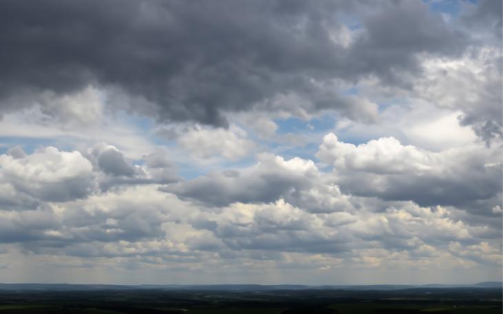
SAN ANGELO, TX -- The threat of flash flooding remains in the Concho Valley through Saturday as waves of thunderstorms pushed by a cold front continue to wave though the region.
According to the National Weather Service office in San Angelo, scattered to isolated showers and a few thunderstorms across much of the region will continue through the early evening hours, bringing additional rainfall amounts of a tenth to three tenths of an inch, and locally up to an inch. There is still a threat of flash flooding due to the possibility of locally heavy rainfall.
[[{"fid":"45878","view_mode":"wysiwyg","fields":{"format":"wysiwyg"},"type":"media","field_deltas":{"1":{"format":"wysiwyg"}},"attributes":{"class":"media-element file-wysiwyg","data-delta":"1"}}]]
Additional rainfall of 1 to 2 inches is possible, with higher totals in excess of 3 inches possible in a few locations. This heavier rain will fall on saturated soils from recent rainfall and increase the potential for flash flooding.
Heavy rainfall will lead to rapid runoff that may result in flooding of low water crossings and city streets. Creeks and streams will fill with swiftly flowing water.
Subscribe to the LIVE! Daily
Required


Post a comment to this article here: