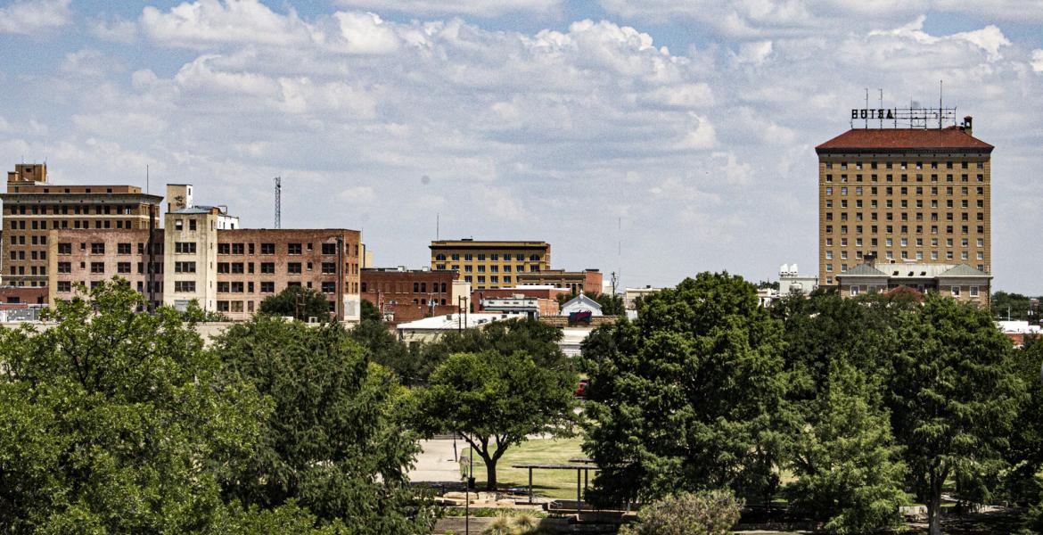
SAN ANGELO, TX – Winter weather returns to the Concho Valley at the start of the work week with showers and thunderstorms and cooler temperatures forecast for Monday and Tuesday.
According to the National Weather Service office in San Angelo, widely scattered showers and a few thunderstorms will develop through 9 a.m. Monday and affect areas south of a Sterling City to Mason line. Rainfall amounts will generally average around 1/10 inch, with locally higher amounts near 1/4 inch possible.
Isolated thunderstorms are possible today. The main hazard will be lightning.
Isolated thunderstorms will be possible across southern and central parts of West Central Texas Tuesday and Tuesday night as well. Lightning will be the main hazard. Some freezing rain and sleet could occur late Tuesday night into Wednesday morning across the western Big Country and northwestern Concho Valley. This may lead to icy bridges and overpasses.
Showers and possibly a thunderstorm, mainly before 3 p.m. today then a chance of showers and thunderstorms after 3 p.m. High near 47. North wind around 10 mph. Chance of precipitation is 80%. New rainfall amounts between a tenth and quarter of an inch, except higher amounts possible in thunderstorms.
Showers are likely tonight, mainly after midnight. Cloudy, with a low around 36. Northeast wind 5 to 10 mph. Chance of precipitation is 60%. New precipitation amounts of less than a tenth of an inch possible.
On Tuesday, there's an 80% chance of showers and possibly a thunderstorm. High near 43. Northeast wind around 10 mph. New rainfall amounts between a tenth and quarter of an inch, except higher amounts possible in thunderstorms.
Subscribe to the LIVE! Daily
Required


Post a comment to this article here: