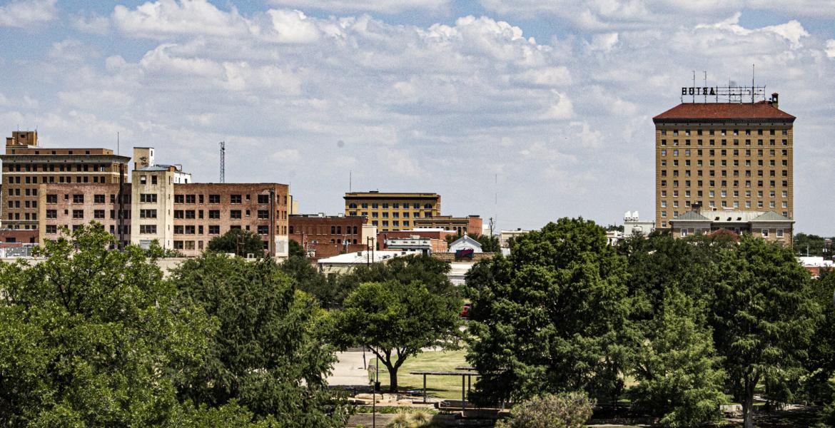
SAN ANGELO, TX -- While Junction residents are waiting to dry out after historic flooding and Sonora residents are rebuilding after similar conditions three weeks ago, West Central Texas is in for another round of heavy rain and possible flooding as a cold front makes its way across Texas tonight.
According to the National Weather Service office in San Angelo, heavy rainfall and Flash Flooding are possible across West Central Texas through tomorrow.
An upper level storm system will approach West Central Texas tonight, causing widespread shower and thunderstorm activity, which may result in flash flooding.
The heaviest rainfall is expected this late tonight through Tuesday morning, when the higher threat for flash flooding will exist.
Heavy rainfall may lead to rapid runoff which could result in flooding of low water crossings and city streets. Creeks and streams will fill with swiftly flowing water.
A Flash Flood Watch means that conditions may develop that lead to flash flooding. Flash flooding is a very dangerous situation.
There's also a severe thunderstorm watch in effect until the cold front passes about 1 o'clock Tuesday morning.
The forecast calls for a 90 percent chance of rain overnight and an 80 percent chance of rain Tuesday.
Subscribe to the LIVE! Daily
Required


Post a comment to this article here: