

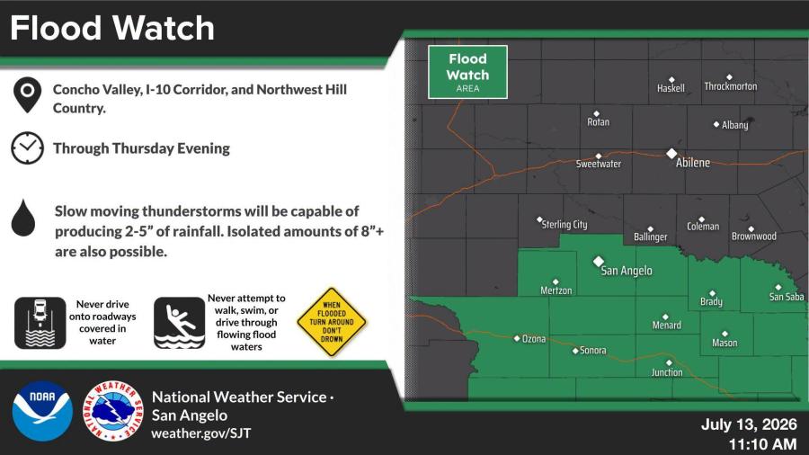
SAN ANGELO, TX — A flood watch is in effect for San Angelo and much of West Central Texas from 9 p.m. Monday through Thursday evening because of the risk of flash flooding from heavy rainfall, the National Weather Service stated.
The watch includes Tom Green County and 10 neighboring counties: Concho, Crockett, Irion, Kimble, Mason, McCulloch, Menard, San Saba, Schleicher and Sutton.
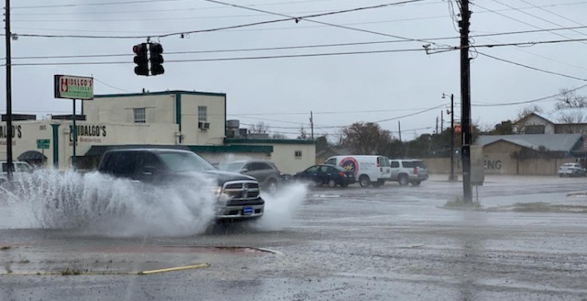
Flash flooding caused by excessive rainfall is possible across the area, with the potential for life-threatening flooding. Excessive runoff could flood rivers, creeks, streams and low-lying areas. Creeks and streams may rise out of their banks, and flooding is possible in poor drainage and urban areas, including parts of San Angelo. Low-water crossings and streets could also flood.
Multiple rounds of heavy rain are expected through early Thursday evening as upper-level disturbances interact with tropical moisture. Storms could produce 1.5 to 2.5 inches of rain per hour at times, with total rainfall of 2 to 5 inches likely across the watch area and isolated spots possibly receiving 8 inches or more. The highest threat is along the Interstate 10 corridor and extending north into the southern Concho Valley.
San Angelo residents should monitor forecasts and be ready to act if flash flood warnings are issued. Those in flood-prone areas or near low-water crossings should prepare to move to higher ground if flooding develops.

Subscribe to the LIVE! Daily

Required
Post a comment to this article here: