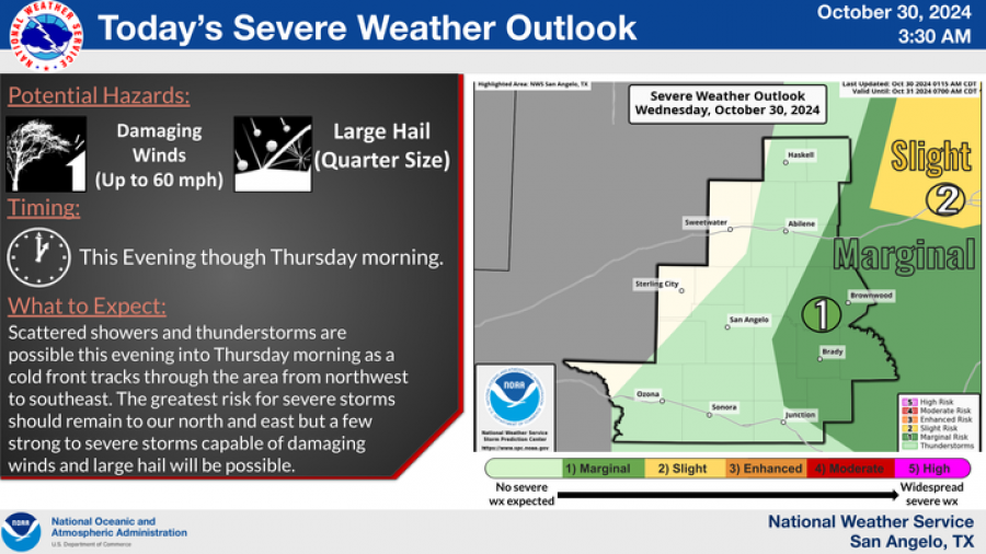
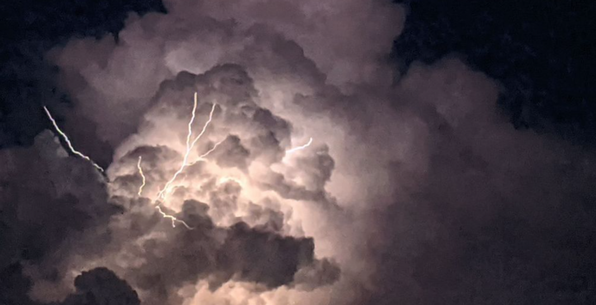
SAN ANGELO, TX — Strong to marginally severe thunderstorms are expected across eastern West Central Texas beginning Wednesday evening and continuing through Thursday morning.
The National Weather Service has forecasted damaging winds of up to 60 mph and quarter-size hail for affected areas as a cold front sweeps from northwest to southeast.
National Weather Service
While the most intense weather is likely to pass north and east of San Angelo, some isolated strong storms are possible in surrounding regions.
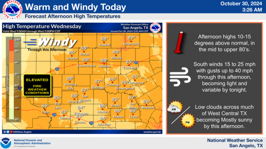
Ahead of the cold front, Wednesday will see above-average temperatures with highs in the mid to upper 80s across much of the region. Southerly winds of 15-25 mph, gusting up to 40 mph, are expected through the afternoon before easing by evening. These conditions, combined with ongoing drought, have created elevated fire weather risks.
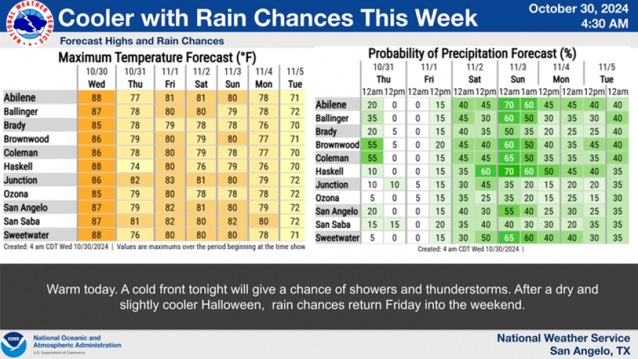
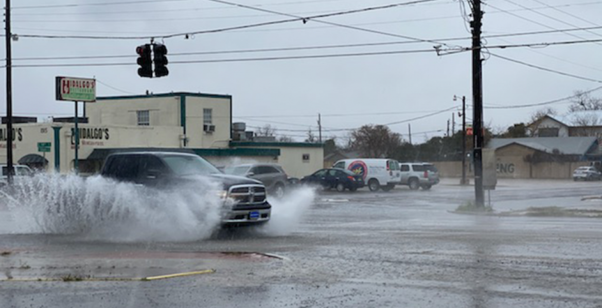
Following Wednesday’s storms, cooler weather and additional rain chances are anticipated as the cold front progresses. Showers and thunderstorms are expected to return Friday and continue through the weekend.
National Weather Service
National Weather Service
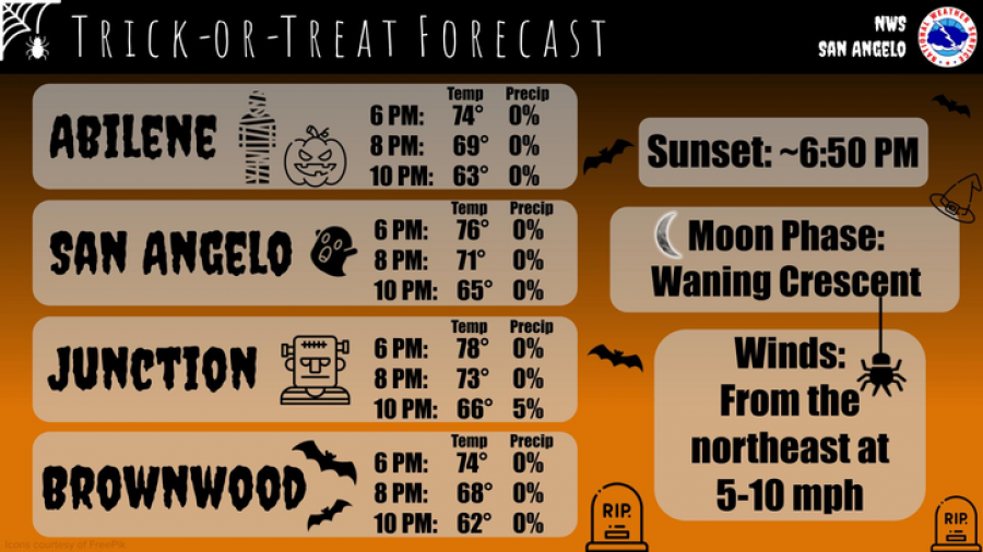
Halloween evening is expected to remain dry, offering pleasant conditions for trick-or-treaters. Temperatures will range from the lower 70s in early evening to the low 60s by 10 p.m., with light northeast winds at 5-10 mph under a waning crescent moon.
National Weather Service
Subscribe to the LIVE! Daily
Required




Post a comment to this article here: