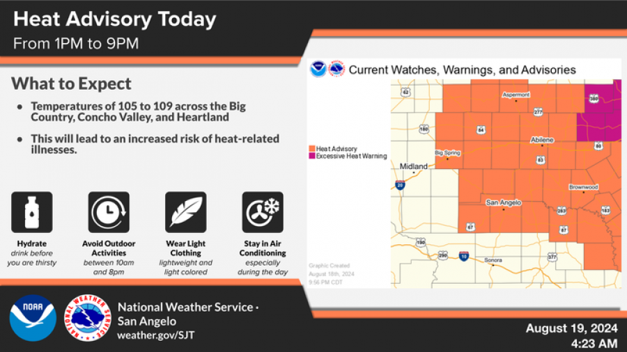
SAN ANGELO, TX – The National Weather Service in San Angelo has issued a heat advisory for today from 1 p.m. to 9 p.m., with temperatures expected to soar between 105 to 109 degrees across the Big Country, Concho Valley, and Heartland regions.
This extreme heat will pose a significant risk for heat-related illnesses, particularly for those engaging in outdoor activities during peak hours.
National Weather Service
Residents are urged to stay hydrated, avoid outdoor activities between 10 a.m. and 8 p.m., wear lightweight and light-colored clothing, and stay in air-conditioned environments, especially during the hottest parts of the day.
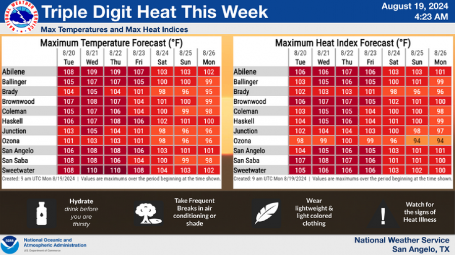
The NWS forecasts that these high temperatures will persist throughout the week, with San Angelo expected to reach highs of 105 to 108 degrees daily. The heat index, which factors in humidity to indicate how hot it feels, could make temperatures feel even higher, with values ranging from 104 to 110 degrees in the area.
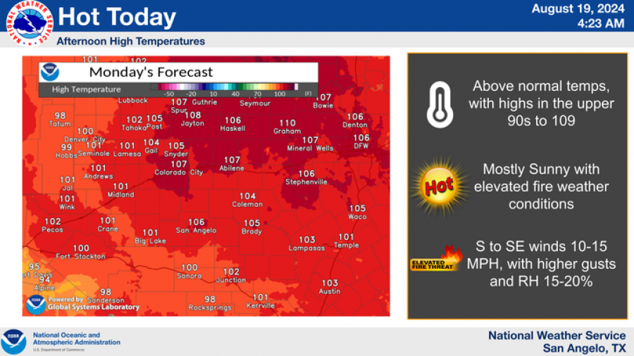
In addition to the heat, the region faces an elevated fire weather risk due to the combination of high temperatures, low humidity (15-20%), and south to southeast winds gusting up to 15 mph.
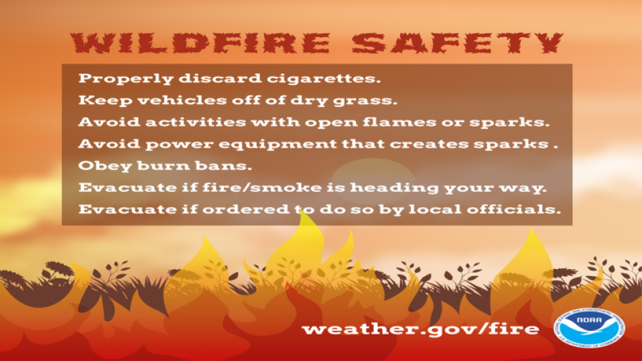
The NWS has issued wildfire safety reminders, urging residents to properly discard cigarettes, keep vehicles off dry grass, avoid activities that could spark fires, and obey all burn bans.
A burn ban is in effect for Tom Green County.
Subscribe to the LIVE! Daily
Required





Post a comment to this article here: