SAN ANGELO, Texas – A cold front is set to sweep southward across the region today, providing much-needed relief from scorching temperatures and ushering in a shift towards cooler weather and increased chances of precipitation.
Before the front's arrival, hot temperatures are on the forecast, with highs soaring into the 90s. However, behind the advancing front, gusty north winds are expected to accompany a significant drop in temperatures. Across the northern Big Country, highs are projected to settle in the comfortable 70s, while southern areas can anticipate temperatures ranging from the low to mid-80s. Further south, temperatures will linger in the low to mid-90s, though some locales might reach the upper 90s. Meteorologists caution that these temperature predictions, particularly for central areas, might need adjustment if the front moves faster than anticipated.
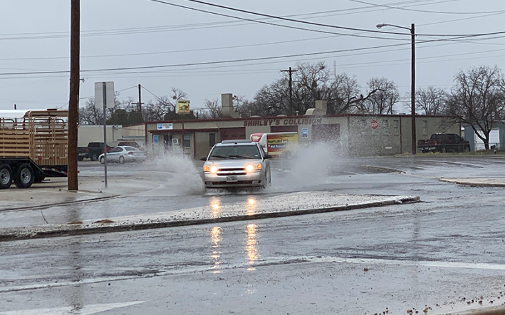
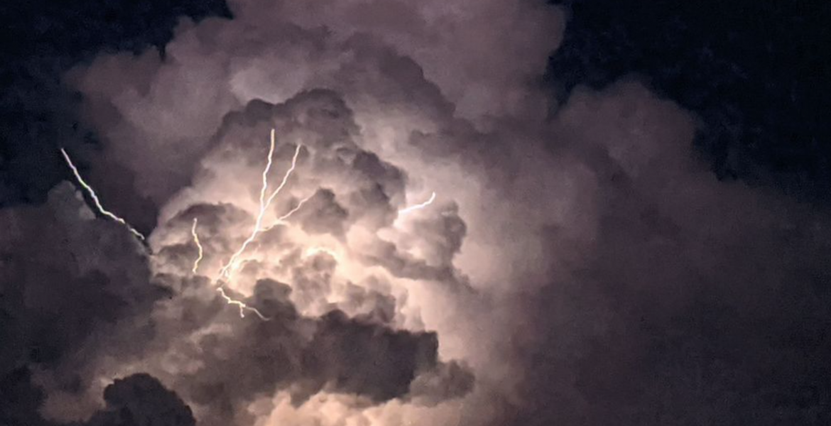
Accompanying the cooler temperatures, showers and thunderstorms are anticipated this afternoon, particularly to the east of the dryline and south of the cold front. Any storms that form could potentially become severe, with large hail and damaging winds posing the primary hazards, although the possibility of a tornado also exists. Most of the storm activity is expected to clear the area by evening, with overnight lows dipping into the mid-50s to lower 60s.
Looking ahead to the long term, cooler temperatures and continued precipitation chances are anticipated over the weekend. Friday is expected to bring highs in the upper 70s to lower 80s, accompanied by increasing clouds and breezy northeast winds. Saturday into Sunday holds the promise of scattered showers and thunderstorms, with models indicating favorable conditions for precipitation development. While thunderstorms are likely, severe levels of activity are not expected until Sunday, when increased instability could support stronger storms.
By Monday night, precipitation is forecasted to taper off, paving the way for a warming trend in the first half of the following week. However, the potential for more precipitation looms as the next system approaches by late Wednesday.
In summary, as the cold front sweeps through, residents can expect a break from the oppressive heat, along with increased rain chances, offering a welcome reprieve from the recent sweltering conditions.
Subscribe to the LIVE! Daily
Required


Post a comment to this article here: