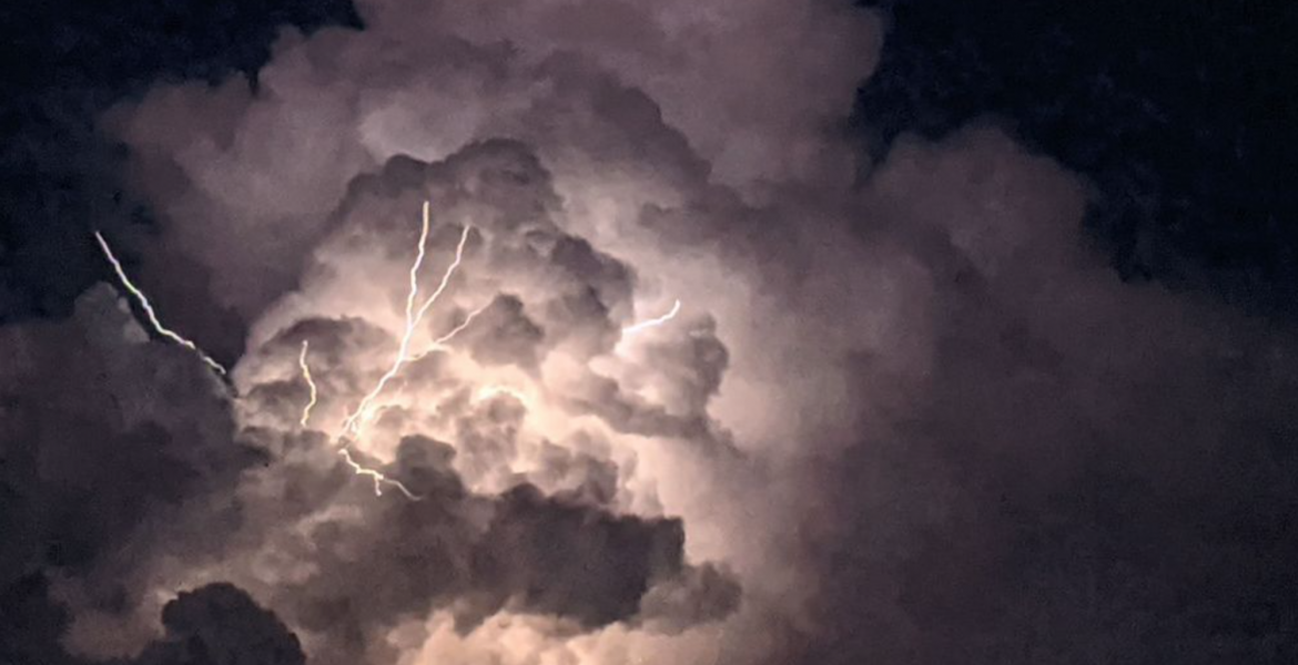
SAN ANGELO, Texas – A Severe Thunderstorm Watch has been issued by the National Weather Service, effective until 10:00 PM CDT for several counties in the Concho Valley.
The affected counties include:
- Archer
- Baylor
- Brown
- Callahan
- Coke
- Coleman
- Comanche
- Concho
- Eastland
- Fisher
- Foard
- Hardeman
- Haskell
- Jones
- Kimble
- King
- Knox
- Mason
- McCulloch
- Menard
- Mills
- Nolan
- Runnels
- San Saba
- Shackelford
- Stephens
- Stonewall
- Taylor
- Throckmorton
- Tom Green
- Wichita
- Wilbarger
- Young
Isolated to scattered thunderstorms are expected to develop later this afternoon, persisting into the early overnight hours, primarily east of a Sweetwater to Sonora line. Some of these storms may become severe, posing a significant risk of very large hail. Additionally, locally heavy rainfall, damaging winds, and an isolated tornado cannot be ruled out.
Looking ahead, the potential for strong to severe storms continues into tomorrow afternoon and evening, with the main threats being very large hail and damaging winds. An isolated tornado remains a possibility. Storm chances persist through the weekend, with Saturday carrying the potential for strong storms. Localized flooding and dangerous lightning are also concerns accompanying these storm systems.
Residents are advised to stay weather-aware and monitor local forecasts for updates as the situation evolves.
Subscribe to the LIVE! Daily
Required


Post a comment to this article here: