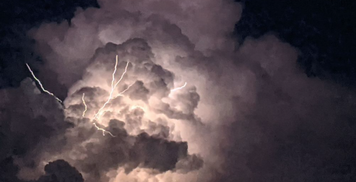
SAN ANGELO, Texas – Today marks a transition to more active weather conditions across West Texas, with the potential for severe storms looming as the day progresses. Thunderstorms are possible in the Big Country, potentially extending into the northern Concho Valley. The threat zone includes areas north of a line from Mertzon to San Angelo to Brownwood Monday night, where strong vertical wind shear enhances the potential for supercells during initial storm development. Subsequently, these storms may evolve into clusters during the mid-evening and overnight periods. Hazards associated with these storms encompass very large hail, damaging winds, and isolated tornadoes. Meanwhile, temperatures soar, with highs reaching the upper 80s to lower 90s.
In the extended outlook: (Tuesday through Sunday) The main upper-level low traverses northeastward across the central US, resulting in West Central Texas experiencing a dry slot. Dry westerly surface winds drive temperatures into the 80s across most areas, with the Hill Country witnessing temperatures soaring into the 90s due to favorable west winds and downsloping effects. Thursday stands out as the hottest day, with 850 MB temperatures soaring above 25°C across the western Concho Valley and Big Country, pushing temperatures well beyond the 90-degree mark.
By Saturday, a stronger cold front arrives, setting the stage for a more widespread rainfall event as low-level moisture surges over the frontal boundary. Variations exist among models regarding the exact placement of the front and the resultant precipitation patterns. However, model blends suggest heightened precipitation probabilities for the weekend.
Subscribe to the LIVE! Daily
Required


Post a comment to this article here: