SAN ANGELO – The oppressive summer heat wave appears to be over and there is a good chance of rain across the Concho Valley everyday for the next seven days beginning Sunday afternoon.
The 100+ degree days are gone for now as consistent cloud cover daily will keep afternoon high temperatures in the 80s and 90s.
A low pressure trough that has caused significant rainfall along the Arizona - New Mexico Border is forecast to move into the Texas Panhandle by early Sunday bringing rain with it to the northern counties of the Concho Valley. There is a 50% chance of rain Sunday afternoon mainly north of a Sterling City to San Saba line.
By Monday, heavy rain could fall across the entire Concho Valley as that low pressure area sags southward. There is abundant moisture available in the midlevels of the atmosphere and enough instability to create outflow boundaries and promote the development of thunderstorms capable of producing up to 1.75 inches of rain. The thunderstorms will redevelop mainly each afternoon and intensify into the evening hours before dissipating each day.
The chance of rain increases Monday to 70% with afternoon high temperatures in the mid 80s. Tuesday through Friday, rain chances hover around 40% to 50% mainly from the I-10 corridor northward including Tom Green County and the city of San Angelo. The showers and thunderstorms will be much more scattered Tuesday through Friday.
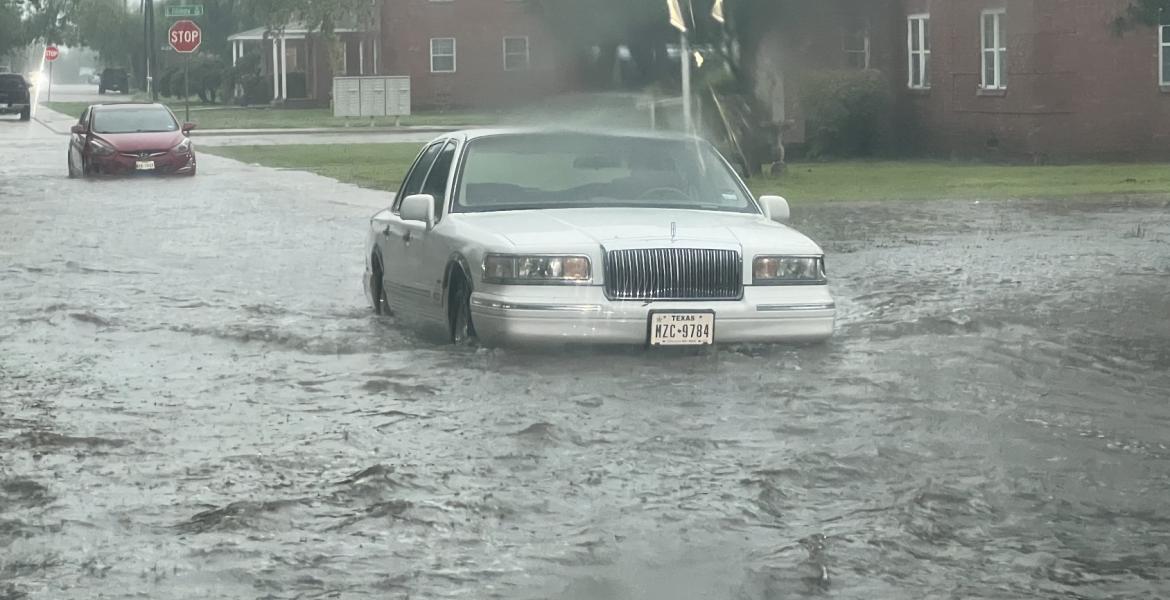
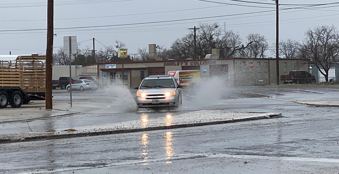
There is a chance for localized flooding with any of the thunderstorms which develop and remain stationary.
Residents are urged to monitor weather sources closely for updates and chances to the forecast for specific areas each day.
This period of rain is the best chance West Central Texas has seen for significant rainfall since the drought began last summer. Some areas could remain dry or see little rain at all during this storm event.
Subscribe to the LIVE! Daily
Required


Post a comment to this article here: