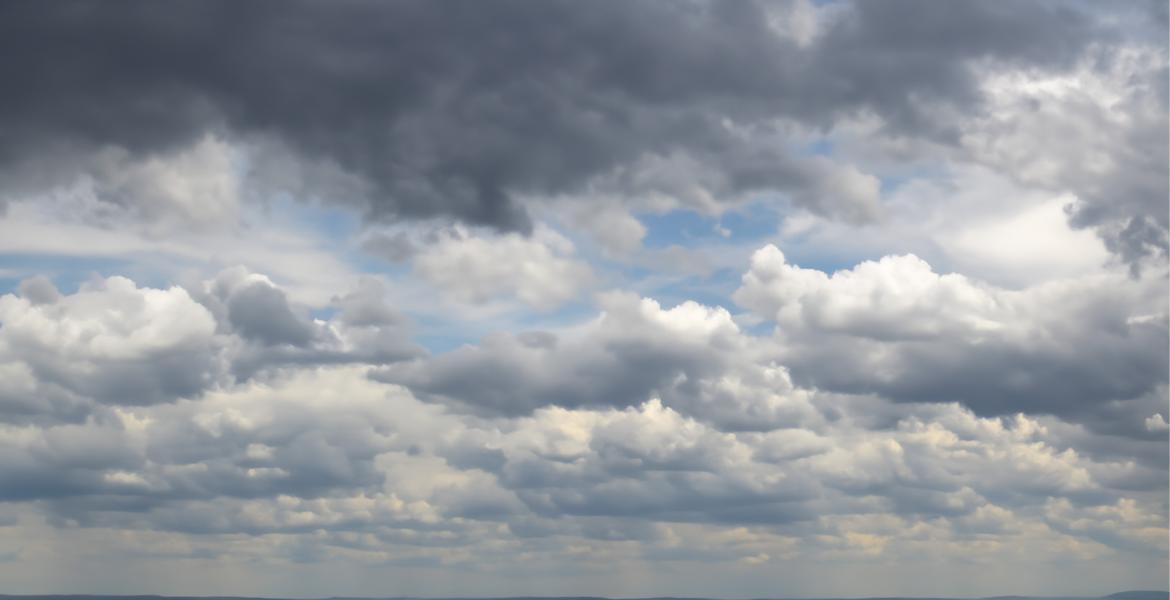
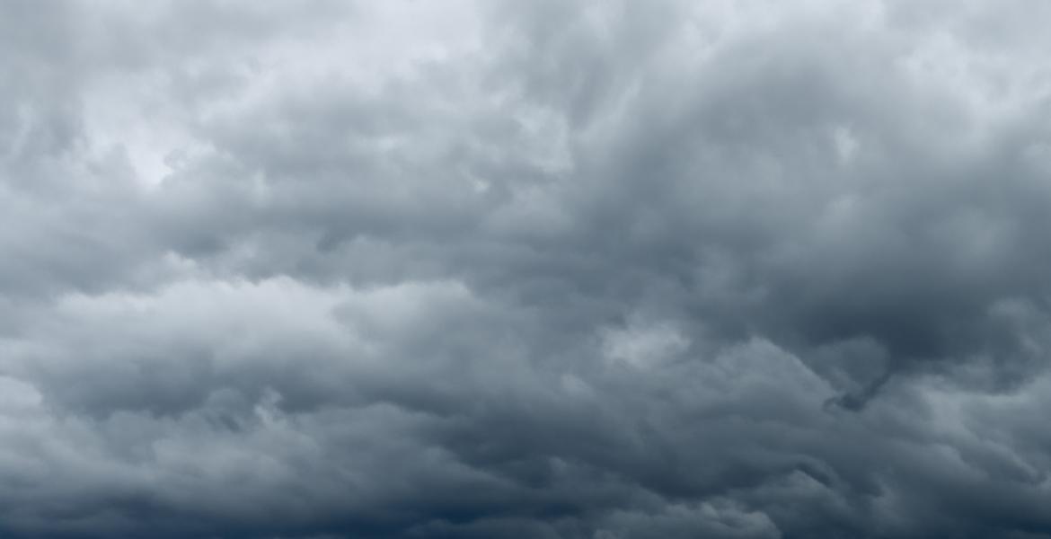
SAN ANGELO – A weak cold front will move through the Big Country and Concho Valley Sunday bringing north winds and cooler temperatures Sunday. Expect the high temperature in San Angelo to reach 100 degrees before cooling off in the evening hours. Sunday will be the last day with triple digit temperatures for several days. There is a 20 percent chance of scattered showers and thunderstorms after 8 p.m.
The cold front is forecast to move through the Abilene area Sunday before noon and the Concho Valley later in the day. Winds will be from the north at 10 to 20 mph behind the front and scattered showers are expected to begin after the cold front passes through.
Sunday evening after 8 p.m. scattered showers are forecast to develop. While no significant rainfall is expected, some of the showers could develop into short lived thunderstorms with brief heavy rain. Minor flooding of low lying areas and urban streets is possible with the heavier rain showers.
There is a 30 percent chance of rain starting Monday morning and persisting through Tuesday around midnight. Afternoon high temperatures will be in the lower 90s through Wednesday. Low temperatures overnight will be in the lower 70s.
Once the rain stops and the cold front moves on, dry and hot conditions are expected to return. Afternoon highs will once again be around 100 degrees by the Fourth of July Holiday weekend.
Subscribe to the LIVE! Daily
Required


Post a comment to this article here: