SAN ANGELO – A strong cold front is forecast to sag slowly into the Concho Valley from the north Sunday morning into Monday bringing the possibility of heavy rainfall and localized flooding.
Meteorologists with the National Weather Service office in San Angelo say that strong cold from will be the catalyst for heavy rainfall. The best chance for significant rainfall will be across the Big Country Sunday and then the Concho Valley Sunday afternoon into Monday as the cold front slowly moves south through the area.
There is a 70% chance of heavy rainfall across the region Sunday, Sunday night and Monday.
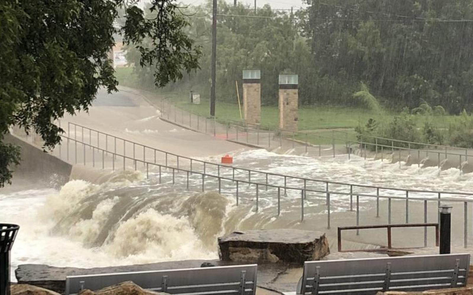
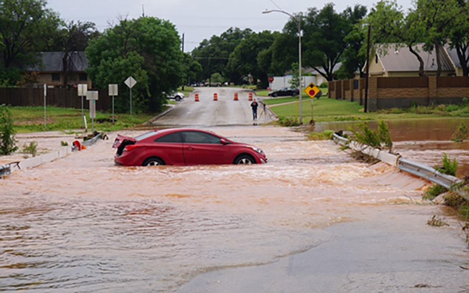
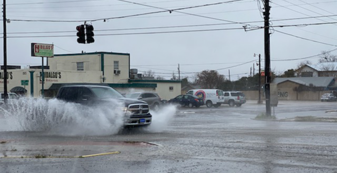
Most areas will see one to two inches of rain from Sunday to Monday with isolated areas receiving three inches or more. That will cause localized flooding concerns in low lying areas and city streets prone to flooding in San Angelo including the College Hills Blvd. area, along the Red Arroyo, in the Santa Rita neighborhood, and in east and west parts of the city.
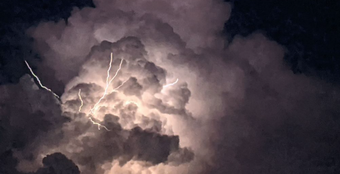
Strong thunderstorms could also contain very high straight line winds and down drafts along with damaging hail and dangerous lightning. Power outages are possible with the passage of this storm.
While this frontal system will bring significant short term rainfall, drought conditions will persist and intensify across the region heading into a long, hot and dry summer.
In addition to the much needed rainfall, the strong cold front will bring below average temperatures which will linger across the area through mid week.
This is a potentially dangerous weather situation. Residents are urged to keep up with the latest weather changes and be prepared to alter travel arrangements depending on the timing and severity of the storms and flooding.
Subscribe to the LIVE! Daily
Required




Post a comment to this article here: