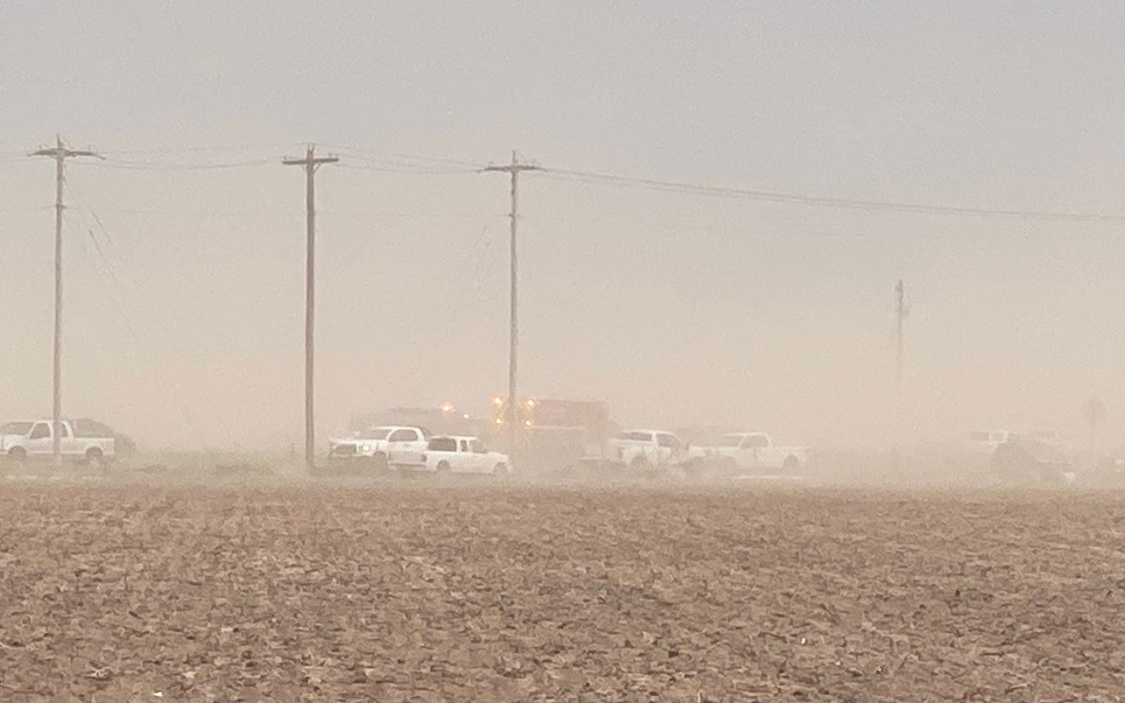
SAN ANGELO, TX — A line of storms blew over the San Angelo area. With its high winds, the dust from adjacent recently-plowed fields dropped the visibility to zero on US 87 S towards Wall.
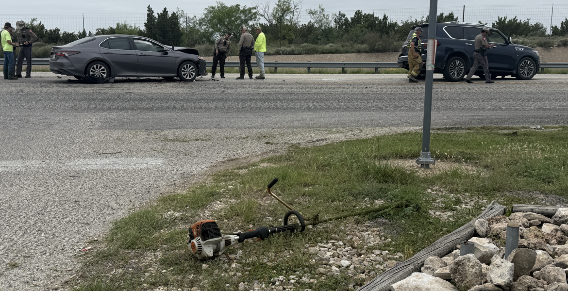
First responders were tending to a major motor vehicle crash apparently caused by the zero visibility when a second crash was called over the radio near the same area at around 6 p.m.
The Tom Green County Sheriff’s Office released a Nixle asking motorists to avoid US 87 S from San Angelo to at least Wall until the dust storm passed.
The San Angelo office of the National Weather service recorded winds as high as 62 mph at Mathis Field. Further south, 70 mph winds were recorded 4 miles south of Christoval.
The unusually high winds were caused by virga cloud formations that are part of the thunderstorm lines stretching across southern Crockett County. Virga causes rapid cooling of the air and creates rain that never falls all the way to the ground, the NWS told us. The rain evaporates before getting to ground level. The NWS estimated that it was raining at 13,000 feet above us but we never saw a drop at around 6 p.m. It virga dust storm was particularly strong in southeastern Tom Green County where US 87 S was closed because of plowed fields and the very strong winds.
A severe thunderstorm watch continues until midnight for areas north and south of San Angelo. A line of storms will pass over the I-20 corridor and impact Sterling City and Ballinger, the NWS said. South of San Angelo will see a similar line of storms along the I-10 corridor. San Angelo sits between both weather formations and will be relatively untouched.
NWS said there is a chance of thunderstorms with rain in San Angelo by the middle of the morning Saturday, starting at around 2 a.m. or 3 a.m.
The virga weather phenomena usually happens at higher elevations, such as in Colorado.
We could not get to the crashes this evening because of road closures. The wind quickly died down once the weather blew over headed to the east.

Crash scene on US 87 S during a virga dust storm on June 2, 2023.
Subscribe to the LIVE! Daily
Required


Post a comment to this article here: