

SAN ANGELO, TX — Scattered showers and occasional thunderstorms will bring a risk of heavy rainfall and flash flooding across west central Texas beginning Thursday afternoon and continuing into Friday morning, the National Weather Service reported Wednesday.
The Weather Prediction Center placed portions of the region, including areas near San Angelo, Brady, and Sonora, under a slight risk of excessive rainfall for Thursday, with a broader marginal risk extending farther north and west. Rainfall totals of 1 to 2 inches are generally expected, with locally higher amounts possible.
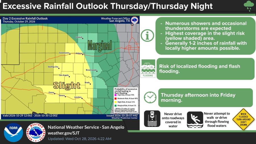
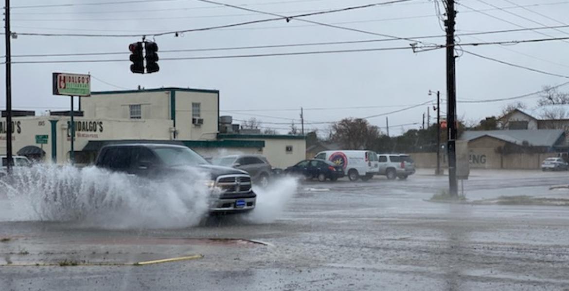
Localized flooding and flash flooding will be possible, particularly in low-lying and flood-prone spots. The National Weather Service office in San Angelo urged residents never to drive onto roadways covered in water and never to attempt to walk or drive through flowing floodwaters. Officials repeated the standard warning: When flooded, turn around, don’t drown.
Rain chances will increase area-wide Thursday and Friday after a mild, dry Wednesday. Probabilities of precipitation climb to 70 percent or higher in many locations Thursday and reach 85 to 100 percent Friday in cities including Abilene, Ballinger, Haskell, Junction, Ozona, San Angelo and Sweetwater. Highs Thursday will generally range from the mid-70s to around 80 degrees before cooler readings in the upper 60s to low 70s arrive Friday.
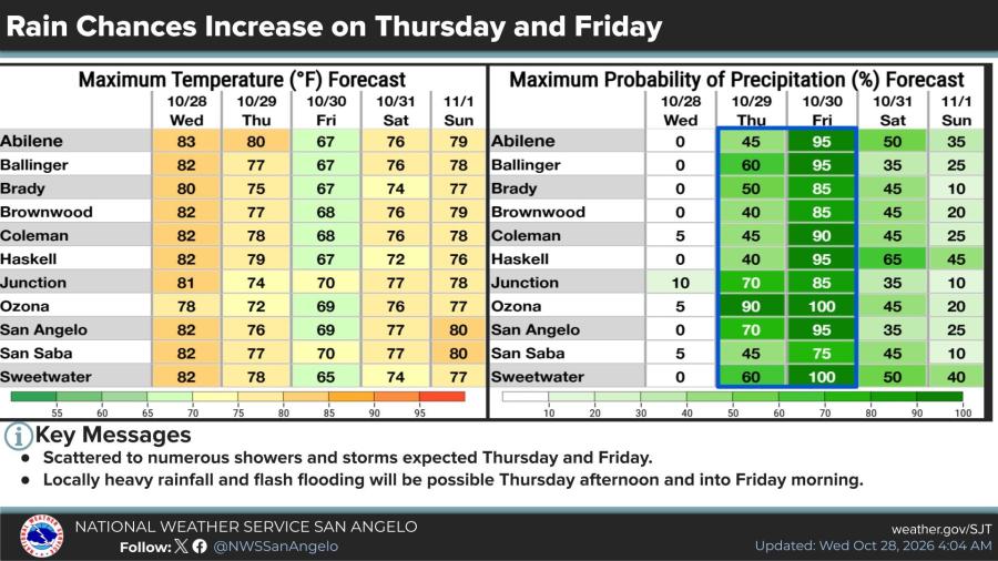
Rain chances will linger at lower levels into the weekend.
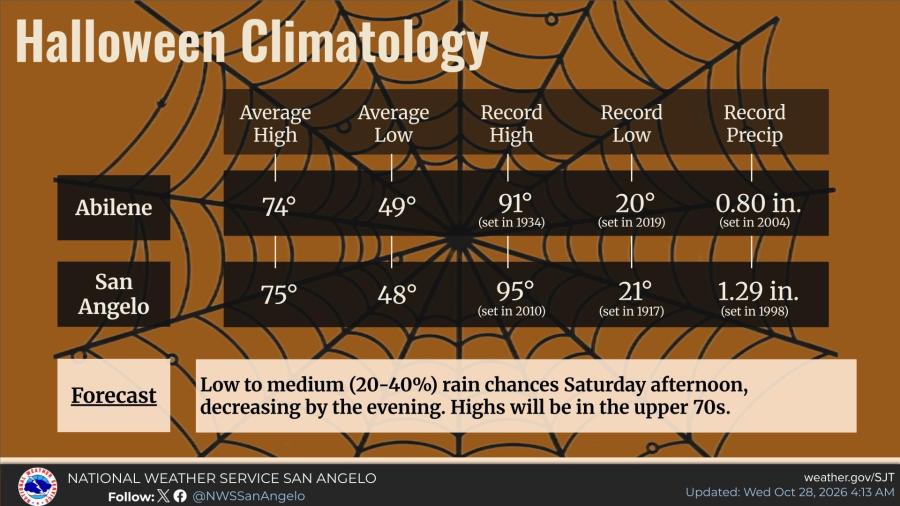
Halloween is expected to be generally mild across west central Texas, with highs in the upper 70s. A few scattered showers are possible Saturday afternoon before tapering off by evening, with rain chances of 20 to 40 percent.
Daylight saving time ends this weekend. Clocks should be set back one hour from 2 a.m. to 1 a.m. Saturday night into Sunday morning.

Subscribe to the LIVE! Daily

Required
Post a comment to this article here: