

SAN ANGELO, TX — The autumnal equinox arrives Tuesday, marking the first day of astronomical fall, but it will not feel like fall across west-central Texas.
Highs are forecast mainly in the lower 90s, with a 30% to 50% chance of scattered showers and thunderstorms this afternoon and early evening, according to the National Weather Service in San Angelo.
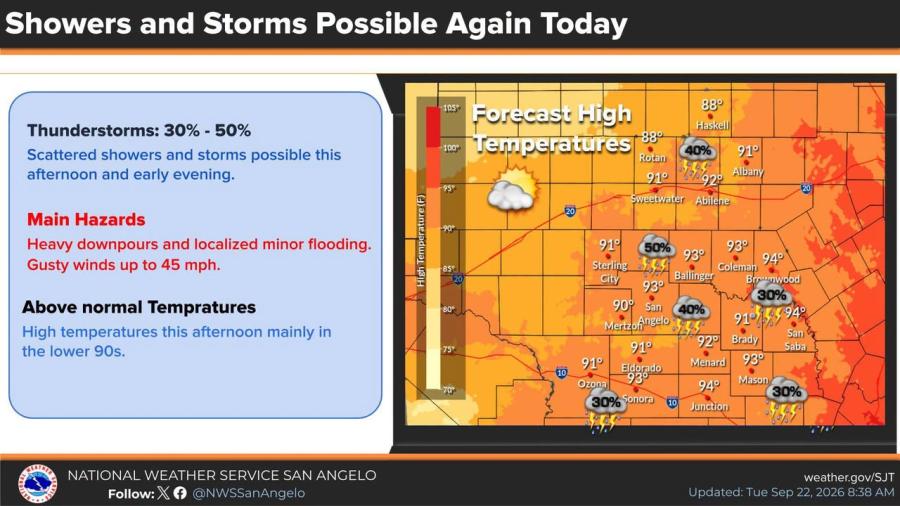
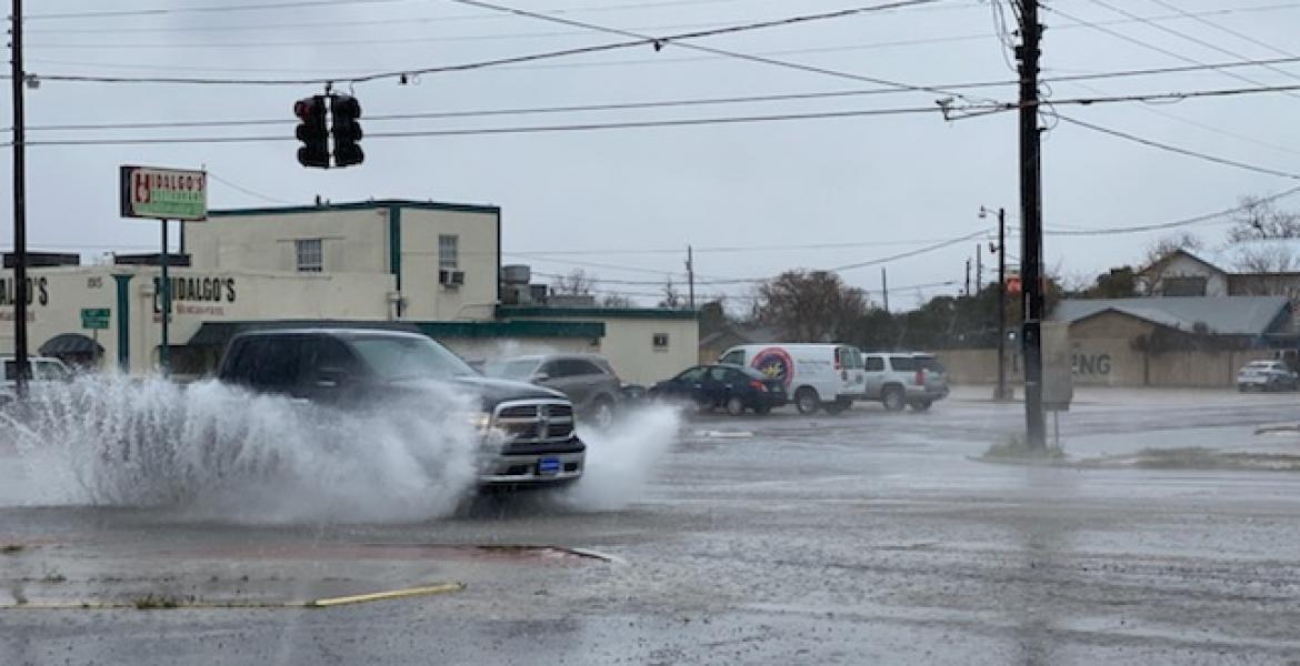
The strongest storms could produce heavy downpours, localized minor flooding, and gusty winds up to 45 mph. Temperatures remain above normal.
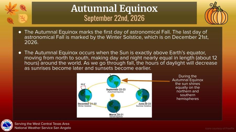
The sun will stand directly above the equator Tuesday as it moves from north to south, making day and night nearly equal at about 12 hours worldwide. Daylight hours will shorten through fall as sunrises come later and sunsets earlier. Astronomical fall ends with the winter solstice on Dec. 21.
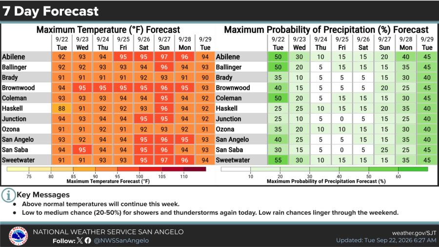
Above-normal heat is expected to persist through next Tuesday. Forecast highs for San Angelo, Abilene, and surrounding communities generally range from the upper 80s to mid-90s this week, with several days reaching 95 to 97. Rain chances drop after Tuesday, remaining low to medium through the weekend before a slight increase early next week.


Subscribe to the LIVE! Daily

Required
Post a comment to this article here: