

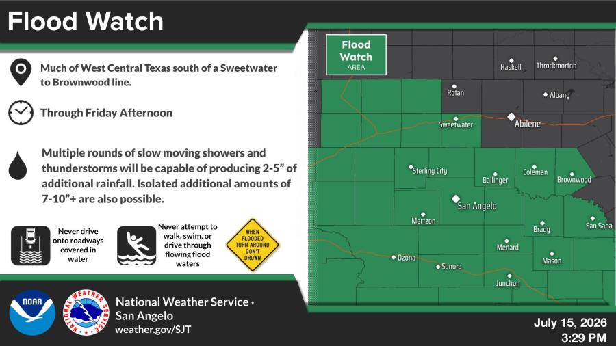
SAN ANGELO, TX — A Flood Watch remains in effect through Friday afternoon for much of West Central Texas south of a line from Sweetwater to Brownwood as slow-moving showers and thunderstorms threaten flash flooding.
The National Weather Service in San Angelo said multiple rounds of storms could produce 2 to 5 inches of additional rainfall, with isolated totals of 7 to 10 inches or more. Overall rainfall amounts of 4 to 8 inches are possible, with locally higher amounts exceeding 10 inches.
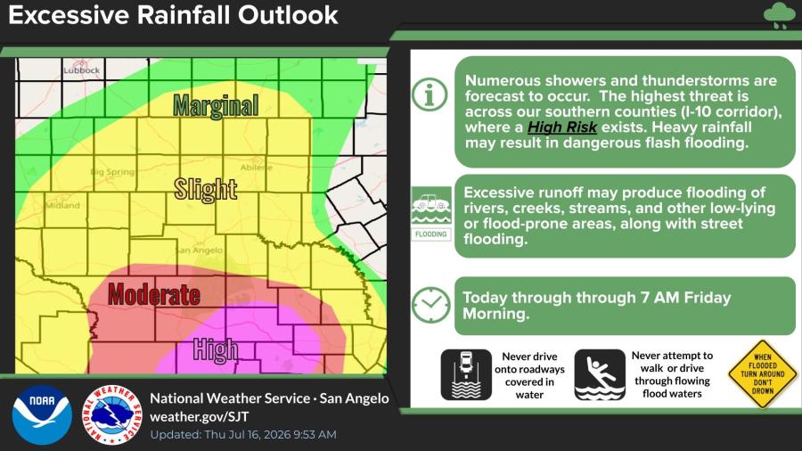
An Excessive Rainfall Outlook through 7 a.m. Friday highlights a high risk of dangerous flash flooding, particularly across southern counties along the Interstate 10 corridor. Very heavy rainfall may also cause flooding of rivers, creeks, streams and low-lying areas.
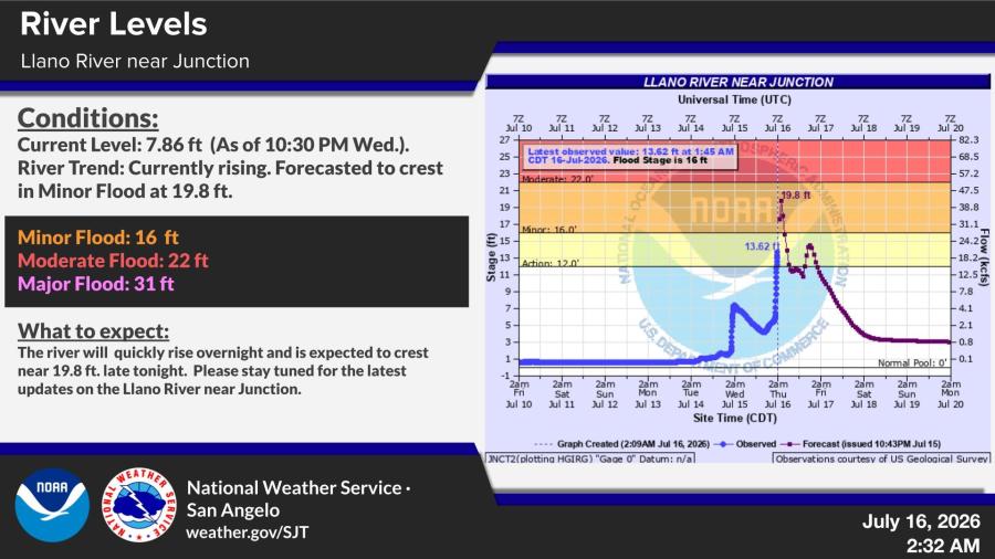
The Llano River near Junction has risen to 13.62 feet at 1:45 a.m. Thursday and was forecasted to crest at 19.8 feet. Minor flooding on the river begins at 16 feet.
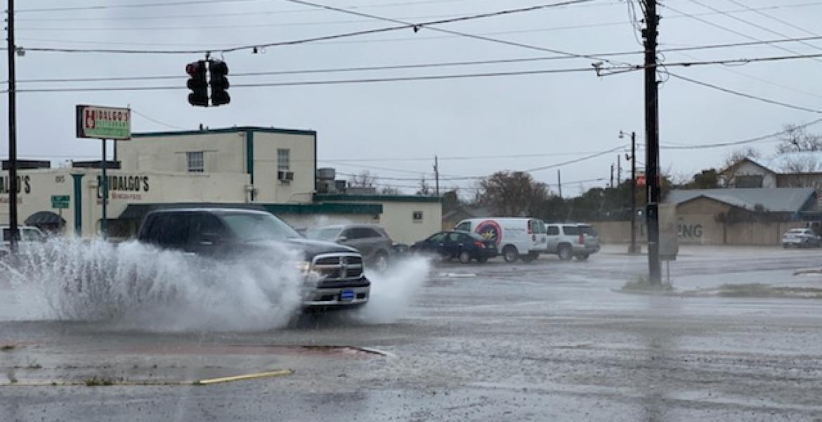
The National Weather Service advises residents to never drive onto roadways covered in water and to avoid walking or driving through flowing flood waters.
You can find live radar by clicking HERE.

Subscribe to the LIVE! Daily

Required
Post a comment to this article here: