
SAN ANGELO, TX – The National Weather Service warns of a high-impact weather event affecting West Central Texas, including San Angelo, with threats of severe storms, damaging winds, and fire danger through Tuesday.
A line of thunderstorms is expected to develop late Monday night and move quickly east. The risk of severe weather has increased, with strong to severe storms likely between 11 p.m. Monday and 6 a.m. Tuesday. Hazards include damaging winds over 60 mph, quarter-sized hail, and a potential for isolated tornadoes.


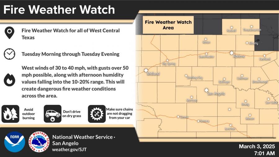
A Fire Weather Watch remains in effect Tuesday due to strong west winds of 30 to 40 mph, gusting over 50 mph, and critically low humidity levels between 10-20%. Officials warn that any fires that develop could spread rapidly.
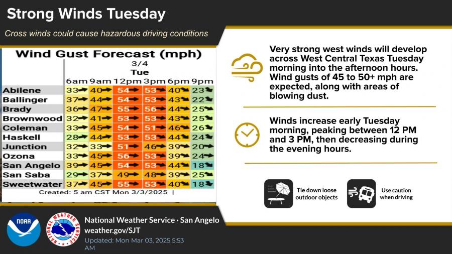
Gusty west winds of 45 to 50+ mph will peak Tuesday afternoon, creating hazardous travel conditions, particularly for high-profile vehicles. Blowing dust may reduce visibility.
Safety Precautions
- Severe storms: Have multiple ways to receive weather alerts and stay indoors during high winds.
- Fire weather: Avoid outdoor burning and take precautions against accidental sparks.
- High winds: Secure outdoor objects and use caution when driving.
")


Subscribe to the LIVE! Daily

Required
Post a comment to this article here: