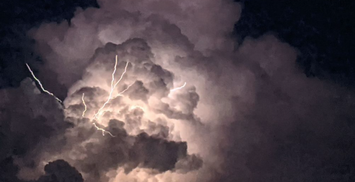
SAN ANGELO, Texas – Severe weather occurs often in May and this year is no exception following the hail and tornadoes in the area Thursday. The risk increases Friday and Saturday and spreads across a larger portion of West Texas.
Tornado Watch Advisory for West Texas
A Tornado Watch is now in effect until 10:00 PM CDT for several counties in West Texas. This watch includes the following locations:
- Borden
- Brown
- Callahan
- Coke
- Coleman
- Concho
- Crosby
- Dawson
- Dickens
- Fisher
- Floyd
- Garza
- Glasscock
- Hale
- Haskell
- Hockley
- Howard
- Irion
- Jones
- Kent
- Lamb
- Lubbock
- Lynn
- McCulloch
- Mitchell
- Nolan
- Runnels
- Scurry
- Shackelford
- Sterling
- Stonewall
- Taylor
- Terry
- Tom Green
Residents in these areas are advised to stay alert and monitor local weather updates. Be prepared to take action in case severe weather conditions, including tornadoes, develop. Stay tuned to local authorities for further instructions and seek shelter if necessary.
Severe Weather Advisory: Potential for Flooding and Severe Storms from Friday Night to Sunday
Residents of the Big Country and Concho Valley are advised to brace for severe weather conditions from Friday night through Sunday, with particular attention to the risk of flooding and strong storms. The National Weather Service has issued warnings indicating the likelihood of scattered thunderstorms, some of which may be severe, developing across the area.
Friday Night through Saturday: As Friday afternoon progresses, an uptick in severe weather potential is expected, especially in the Concho Valley extending northward to areas including Abilene, Sweetwater, Anson, Roby, and Haskell. This region has been upgraded to an enhanced potential for severe weather, including the possibility of very large hail, damaging winds, and even a tornado or two. While a slight risk extends to the rest of West Central Texas, all residents are advised to remain vigilant.
Localized flooding is a significant concern due to heavy rainfall accompanying the strong to severe storms. As of 2 PM, satellite imagery already indicates the formation of cumulus clouds in western parts of the Big Country and northwest Concho Valley. Models suggest storm development by late afternoon, expanding in coverage and tracking eastward during the evening. Residents should prepare for very large to possibly giant hail, damaging winds, and the potential for tornadoes.
Saturday through Sunday: The risk persists into Saturday, with strong to severe storms anticipated in the afternoon and evening. All severe weather hazards, including large hail, damaging winds, and isolated tornadoes, remain possible. Storm coverage is expected to be more extensive, increasing the likelihood of widespread heavy rainfall and flooding.
The atmosphere will remain moist and unstable on Saturday ahead of a weak cold front and a shortwave trough approaching from the west. Thunderstorm development is forecasted to be fairly widespread across West Central Texas by afternoon, expanding further in coverage by late afternoon and early evening. Another risk for severe storms exists primarily south of the surface cold front, with enhanced risk in western portions of the Concho Valley and the Permian Basin.
Sunday Outlook: The threat continues into Sunday, albeit with a slightly decreased intensity. There remains a 50 percent chance of showers and thunderstorms, particularly in the afternoon. While the severe risk diminishes somewhat, residents are urged to stay weather aware as conditions may still produce heavy rainfall and localized flooding.
Forecast Summary:
- Friday: Scattered thunderstorms, some severe, especially in the Concho Valley and Big Country. Potential for very large hail, damaging winds, and tornadoes.
- Saturday: Strong to severe storms likely, with all hazards possible. Widespread heavy rainfall and flooding potential.
- Sunday: Lingering showers and thunderstorms, with a reduced severe risk but continued potential for heavy rainfall and localized flooding.
Residents are advised to stay tuned to local weather updates and heed any warnings issued by authorities. Prepare emergency kits and have a plan in place to ensure safety in the event of severe weather. Stay indoors during storms and avoid flooded areas. Together, we can weather this storm safely.
Subscribe to the LIVE! Daily
Required


Post a comment to this article here: