SAN ANGELO, Texas — Residents in West Central Texas are advised to brace for hazy conditions and a smoky smell as smoke from wildfires in the Panhandle blankets the area, according to the National Weather Service. The NWS forecasts that the smoke will linger for several hours, carried by strong north winds associated with a cold front sweeping through the region.
As of 2:30 AM, the cold front has already made its way through San Angelo and is progressing southward, impacting areas such as the Concho Valley, the Northwest Hill Country, and the Northern Edwards Plateau. Behind the front, temperatures are expected to plummet by as much as 35 degrees compared to the previous day, with brisk north/northeast winds reaching gusts of over 40 mph.
The strong north winds associated with the front are bringing in wildfire smoke from the Panhandle, causing a smoky smell and hazy conditions. Residents may notice reduced visibility and a lingering haze throughout the morning.
Despite the smoky conditions, authorities emphasize that there are no active wildfires near the immediate area. However, residents are urged to remain vigilant and report any sightings of active flames by calling 911.
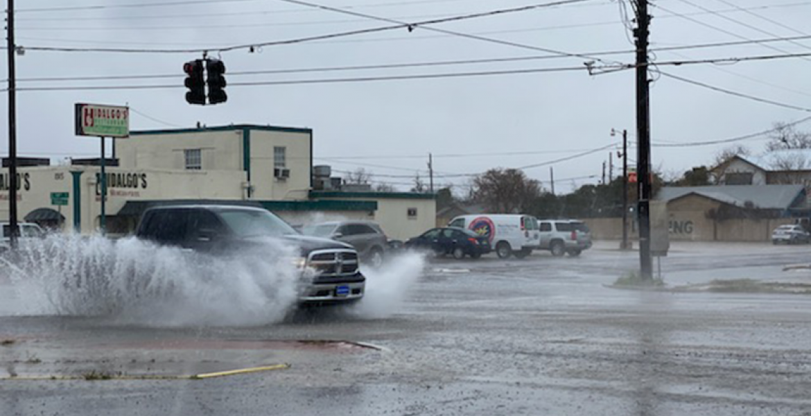
In addition to the smoky conditions, West Central Texas is also preparing for precipitation as an upper-level low originating near Baja California moves eastward. The NWS anticipates an increase in rain chances throughout the day, starting with light showers in the southwestern part of the region and intensifying later in the afternoon and into the overnight hours.
"Instability will be limited, so thunderstorms are not expected. Instead, we're likely to see light rain, with amounts totaling less than a quarter inch for most areas," explained Doe. "Temperatures on Thursday morning will be in the mid-30s to near 40 degrees, with a slight chance of mixed winter precipitation in some areas, although impacts are not anticipated to be significant."
Residents are advised to stay informed about changing weather conditions and take appropriate precautions, including driving safely in reduced visibility and dressing warmly in anticipation of cooler temperatures.
The NWS will continue to monitor the situation and provide updates as necessary.
Subscribe to the LIVE! Daily
Required


Post a comment to this article here: