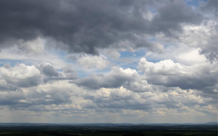
SAN ANGELO – A strong cold front will plow through West Texas Wednesday afternoon and evening bringing thunderstorms with heavy rain, large hail and flooding to some areas.
Government meteorologists predict that cold front will bring scattered thunderstorm activity as it moves southeast across the Big Country during the afternoon hours. Those storms will become more numerous and continue south across the Concho Valley overnight. Severe storms are possible along and north of an Ozona to San Angelo to Brownwood line during the late afternoon and early evening hours.
The main threats will be 70 mph winds and golfball sized hail.
Look for heavy rains and flash flooding as well with up to 1.75 inches of rain expected with the heavier storms.
The rain and flooding will end Thursday night with temperatures dropping behind the cold front to the lower 50s overnight with afternoon highs in the 70s by the weekend.
Look for Advisories, Watches and Warnings to be issued as the storms develop and specific areas become threatened late Wednesday.
Subscribe to the LIVE! Daily
Required


Post a comment to this article here: