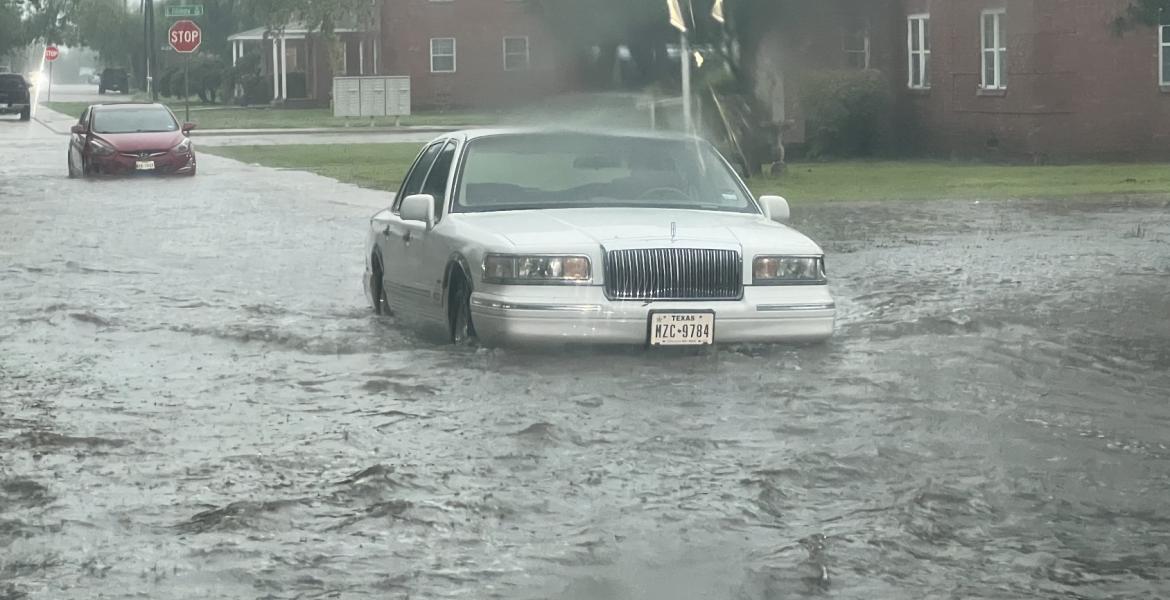
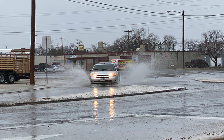
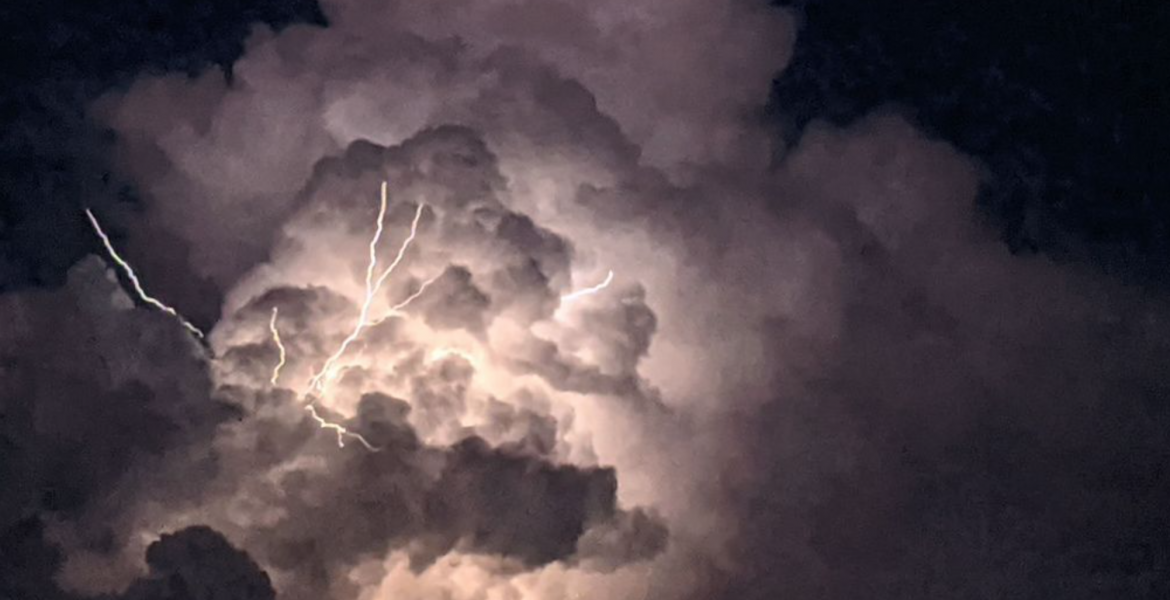
SAN ANGELO – A long-shot line of storms developed northwest of San Angelo Tuesday evening and rumbled through the city dumping .75 inches of rain at the airport along with some strong, gusty winds, lots of lightning and even some hail in areas.
The last measurable rain in San Angelo was .29 on Aug. 10.
Government meteorologists with the National Weather Service office in San Angelo issued storm warnings for the city and for the Wall area as the system blew through. What was supposed to be a scattered area of isolated showers quickly gathered strength in the afternoon heat and ended the month long dry spell. And there is more rain in the forecast now.
According to the NWS, there is a 20% chance of rain Wednesday afternoon between 1 p.m. and 10 p.m. and then a rainy spell from Saturday all the way through Tuesday with chances ranging between 20% ands 40%.
Expect afternoon high temperatures to exceed 100 degrees everyday through Sunday then drop to the mid 90s.
With last night's rain, San Angelo is still .31 inches below average for September and 5.15 inches below normal for the year. An average year would see 14.39 inches of measurable precipitation by Sept. 6. So far this year, Mathis Field has recorded 9.24 inches.

Skinny Rooster (Courtesy/W3schools.blog)
Subscribe to the LIVE! Daily
Required


Post a comment to this article here: