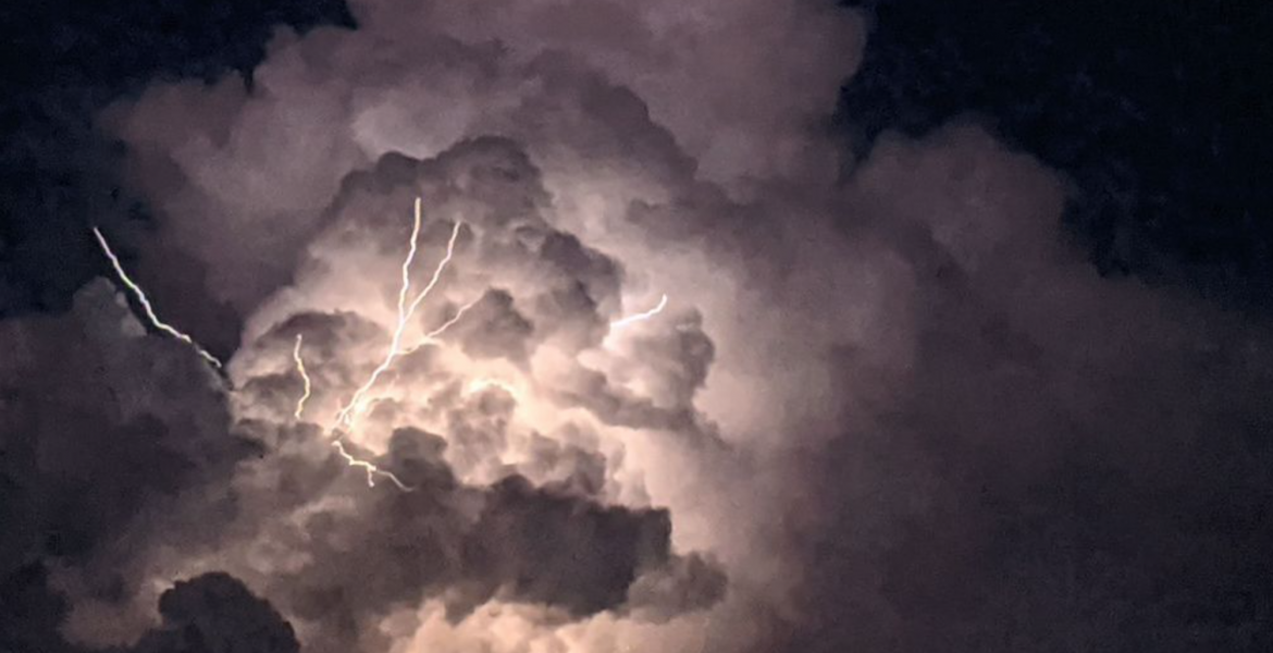
SAN ANGELO – A line of severe thunderstorms with large hail and heavy rain is expected to form and roll over the Big Country and Concho Valley overnight with the greatest threat being flash flooding.
According to information from expert meteorologists at the National Weather Service in San Angelo, a line of instability will form to the west of the Concho Valley Friday evening and develop into strong to severe thunderstorms stretching from near Colorado City to about Ozona. There is some question about whether the line will split and go around the San Angelo area or stay together as it moves east across the area.
As the line of storms moves through, it will dump heavy rain and some hail causing flash flooding. Lightning is also a major concern and a possible tornado cannot be ruled out. Damaging winds and very large hail are the main concerns Friday night.
The storms will be capable of producing .75 to 1.5 inches of rain per hour. Flash flood warnings could be issued as conditions require.
There is a 60% chance of rain across the area Friday night dropping during the day Saturday then increasing to 50% Sunday and Monday.
Stay tuned Friday for further weather updates as new information is released. This is a serious and dynamic weather situation.
Subscribe to the LIVE! Daily
Required


Post a comment to this article here: