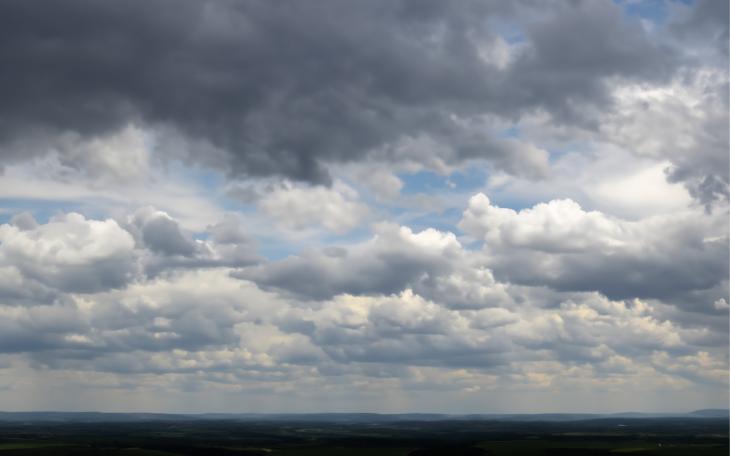
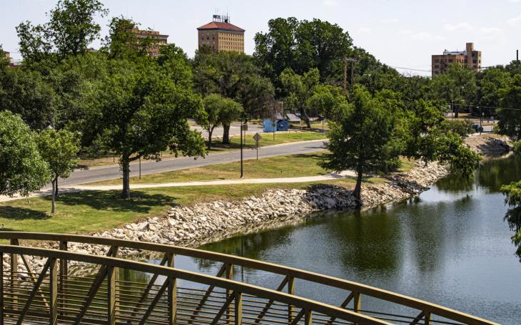
SAN ANGELO – A mixed bag of windy, spring weather Thursday will give way to very cold temperatures and a chance of snow in parts of the Concho Valley by the weekend with the passage of a strong cold front. Conditions will shift from elevated wildfire conditions ahead of that front Thursday to a possibility of snow or freezing rain in the western counties by Saturday.
National Weather Service Meteorologists have issued a Wind Advisory for Thursday afternoon from noon to 10 p.m. A strong cold front will bring west winds of 25 to 35 mph with gusts to 45 mph then the winds will shift to the north with the passage of the frontal system Thursday evening.
A Wind Advisory means high winds will occur and could blow around unsecured objects. Tree limbs could be blown down causing isolated power outages as well. Extreme wildfire conditions will exist because of the high winds and low humidity Thursday afternoon. A burn ban is in effect for Tom Green County.
There is a 40% chance of thunderstorms mainly in the eastern counties from Junction to Brady to Brownwood then along the I-10 corridor from Ozona to Junction tonight.
Temperatures will drop rapidly to the mid 30s region wide behind the cold front by Friday morning. Temperatures could reach the freezing mark at 32 degrees for a few hours Saturday and Sunday morning in rural, low lying areas of the Concho Valley.
There is a possibility of snow mixing in with the rain showers during the early morning hours over the weekend. The wintery mix will be confined to an area west of a Sweetwater to Ozona line and South of a line from Ozona to Junction.
By Tuesday, look for temperatures to rebound into the 70s and 80s.
This is a dynamic weather situation.
Subscribe to the LIVE! Daily
Required


Post a comment to this article here: