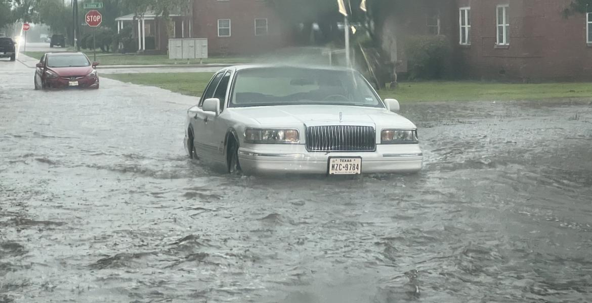
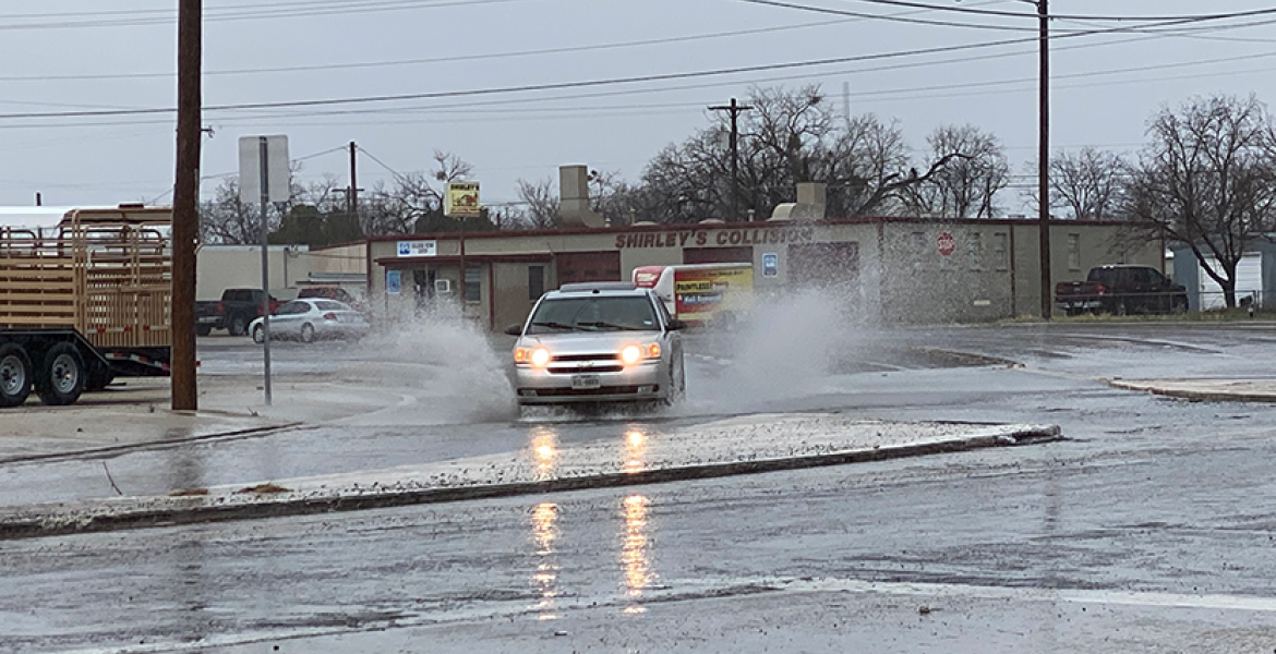
SAN ANGELO – Showers and thunderstorms moved across West Central Texas over the weekend dumping enough rain to cause flooding in the Permian Basin, the Big Country and along the I-10 corridor but San Angelo for the most part remained dry.
There were brief showers but nothing like the storms that moved slowly across the Abilene area to the Heartland around Brownwood.
Officially at the airport, San Angelo received .04 inches of rain Friday, none Saturday and a trace on Sunday. That puts the city at 3.59 inches for 2022 which is 9.43 inches below normal so despite the cloud cover and cooler temperatures, the drought continues in the Concho Valley.
The forecast for the week is remarkably similar. Monday, there is a 60% chance of afternoon showers and thunderstorms but most of that activity will be north and east of the Concho Valley. A cold front is moving slowly through the area and the wind will shift from the south to the north around the noon hour.
Forecasters say rain will accompany that cold front as it moves through the Concho Valley. More than likely though, the thunderstorm activity will be in the Brady and Brownwood area and stretch back west to Sonora and Ozona.
The weather pattern throughout the week includes daily rain chances of 20% to 30%. Those rain events will include scattered to isolated showers and thunderstorms with the best chances across the Hill Country and the eastern counties of the Concho Valley. The chances for rain will diminish as the week progresses.
Afternoon high temperatures will remain in the mid to upper 80s for Monday and Tuesday then rise back into the lower 90s for the rest of the week.
Subscribe to the LIVE! Daily
Required


Post a comment to this article here: