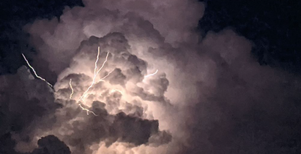
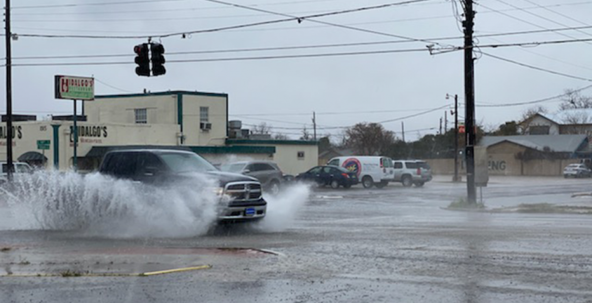
SAN ANGELO – Meteorologists with the National Weather Service in San Angelo expect some strong to severe thunderstorms to develop across the Concho Valley Sunday afternoon into the overnight hours.
According to the NWS, a cold front has passed through the area and settled along the I-10 corridor. Showers and thunderstorms are expected to form north and northwest of the Concho Valley with the best coverage forecast north of a Sterling City to Brownwood line.
Scattered showers and thunderstorms should develop in the Concho Valley late Sunday afternoon with the main weather threat being large hail and damaging wind gusts.
A few supercell storms could develop across the Permian Basin and could produce isolated tornadoes.
A dry line is expected to form to the west of the Concho Valley and sweep east across the region as is typical of active weather patterns this time of year. If the storm system that develops along the dry line Sunday holds together as it moves east across the region, heavy rain in the San Angelo area could cause localized flooding.
If the dry line storm system doesn't hold together, it is possible that it will split and go around the San Angelo area again.
There is a 40% chance of rain and thunderstorms Sunday afternoon. The timeline appears to be rain and thunderstorms from around 3 p.m. to around 2 a.m. Monday. There is a 60% chance of storms overnight.
This a developing weather situation and the timing of any storm activity could change.
There is another chance of rain Wednesday into Thursday with severe storms possible.
Subscribe to the LIVE! Daily
Required


Post a comment to this article here: