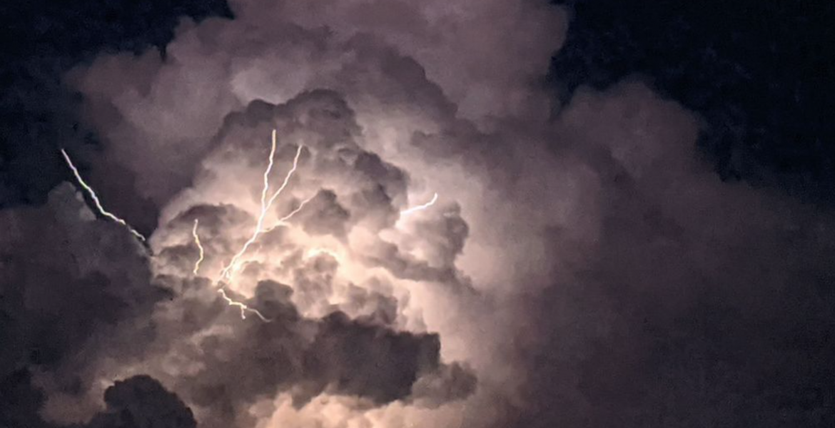
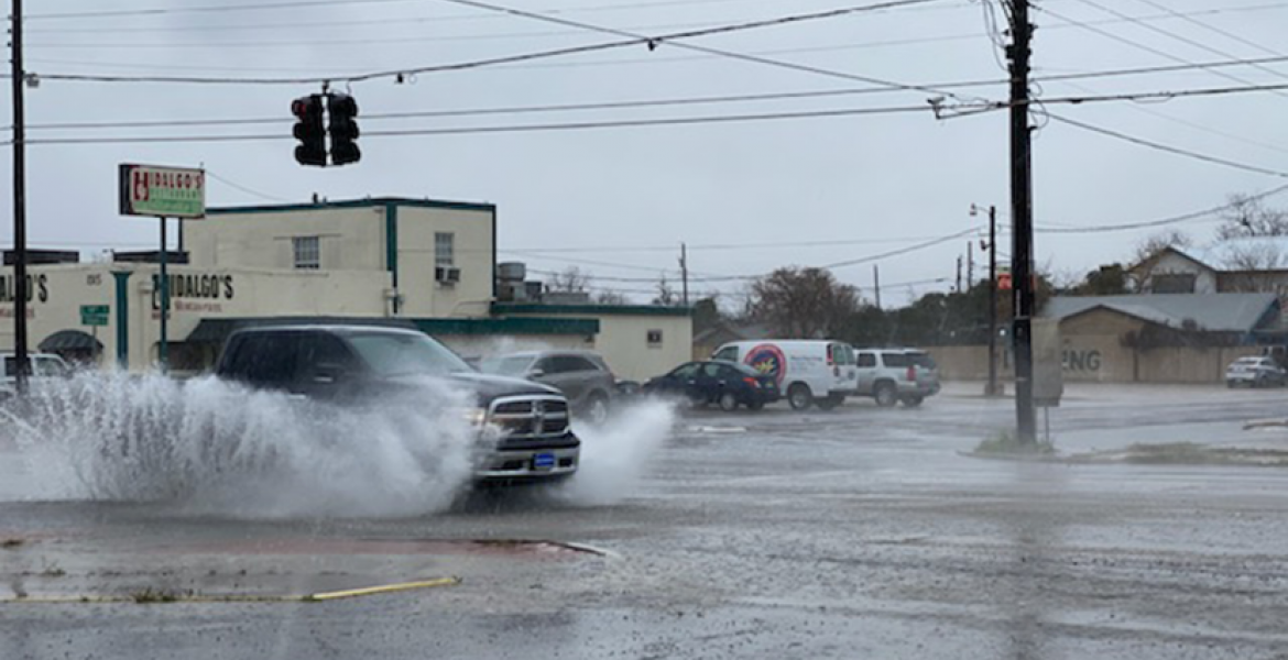
SAN ANGELO, TX -- Minor flooding is occurring Wednesday morning in San Angelo, Abilene and across the Concho Valley with an additional two inches forecast for today.
According to the National Weather Service office in San Angelo, city streets across Abilene, San Angelo, Brownwood, Brady and other locations may become flooded and impassable during the heavy rainfall. Low water crossings and other poor drainage areas may become flooded as well. Small creeks and streams may see rapid rises.
Additional heavy rainfall of 1 to 2 inches will fall across the Watch area, with isolated totals near 3 inches possible. The focus will be mainly south of a Albany to Sweetwater line and will include the Concho Valley, Heartland, Northwest Hill Country, and the Northern Edwards Plateau.
Watch the video:
At 7:15 a.m., doppler radar was tracking a strong thunderstorm 14 miles north of Ozona, moving northeast at 40 mph. Penny size hail and winds in excess of 40 mph will be possible with this storm. This strong thunderstorm will be near... Mertzon and Sherwood around 8:00 a.m.
The potential for heavy rainfall and flash flooding will continue through this evening for areas generally along and south of Interstate 20. Flooding of small streams, creeks and urban areas will be possible. A Flash Flood Watch remains in effect for much of the area through 10 p.m. this evening.
This is a developing situation.
Subscribe to the LIVE! Daily
Required


Post a comment to this article here: