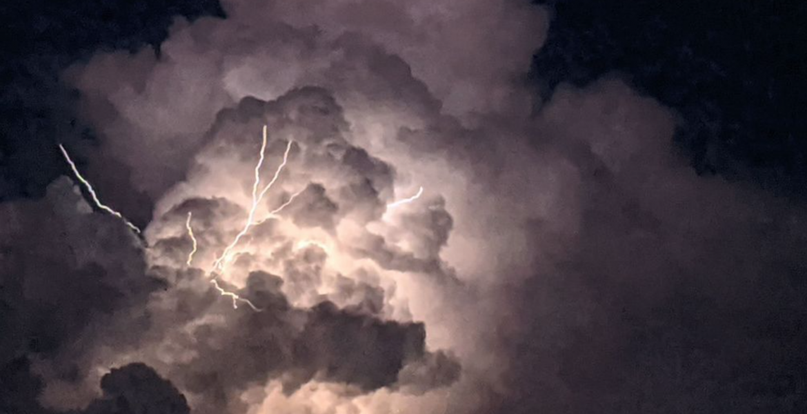
SAN ANGELO, TX -- It could be a bumpy night across West Central Texas Tuesday night and Wednesday as a potent weather system moves across the region.
The National Weather Service office in San Angelo has issued both a severe thunderstorm watch and a flash flood watch for the San Angelo and Abilene areas.
First, the NWS issued the severe thunderstorm watch. There is a slight risk of severe thunderstorms this afternoon and tonight across much of West Central Texas.
The main hazards are large hail and damaging winds.
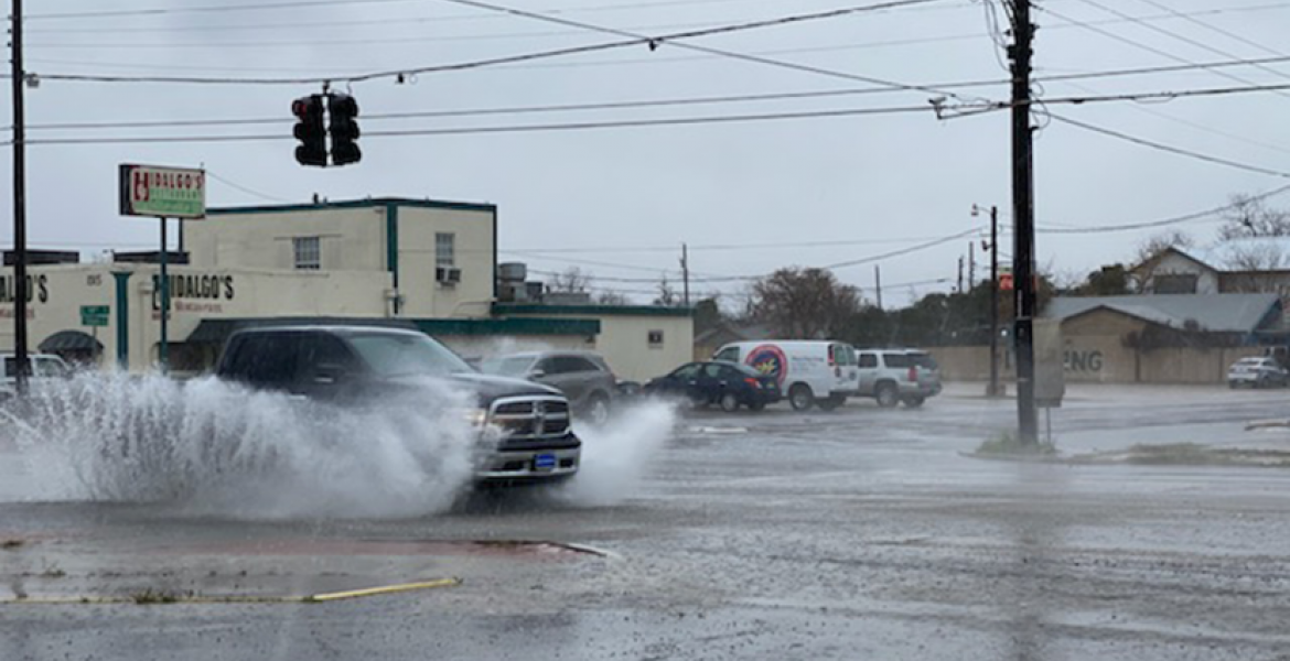
Flash flooding is also possible tonight, especially along and south of interstate 20.
Widespread showers and thunderstorms are expected along a slow moving cold front.
Motorists should be especially careful at night when water on roadways is difficult to see. Turn around, don`t drown.
The flash flooding threat will continue Wednesday morning and afternoon, for areas along and south of Big Lake to San Angelo to Abilene line.
The main focus for heavy rainfall extends from the Concho Valley eastward to Brady, Brady, Brownwood and San Saba.
Look out for flooding in urban areas, small streams and arroyos.
Isolated severe thunderstorms are also possible Wednesday morning and afternoon, mainly along and southeast of an Iraan to San Angelo to Cross Plains line. The main threats are large hail and damaging winds.
Then the NWS issued the flash flood watch for the following areas, Brown, Callahan, Coke, Coleman, Concho, Crockett, Irion, Kimble, Mason, McCulloch, Menard, Nolan, Runnels, San Saba, Schleicher, Shackelford, Sterling, Sutton, Taylor, and Tom Green counties through Wednesday evening. Heavy rainfall of two to four inches will fall across much of West Central Texas, with isolated totals over 5 inches possible.
The focus will be mainly south of a Albany to Sweetwater line and will include the entire Concho Valley, Heartland, Northwest Hill Country, and the Northern Edwards Plateau.
City streets across Abilene, San Angelo, Sweetwater, Brownwood, Brady and other locations may become flooded and impassable during the heavy rainfall. Low water crossings and other poor drainage areas may become flooded as well.
Small creeks and streams may see rapid rises.
The NWS says there is a 100 percent chance of heavy rain and thunderstorms tonight and Wednesday.
A Flash Flood Watch means that conditions may develop that lead to flash flooding. Flash flooding is a VERY DANGEROUS SITUATION. You should monitor later forecasts and be prepared to take action should Flash Flood Warnings be issued.
This is a developing situation.
Subscribe to the LIVE! Daily
Required


Post a comment to this article here: