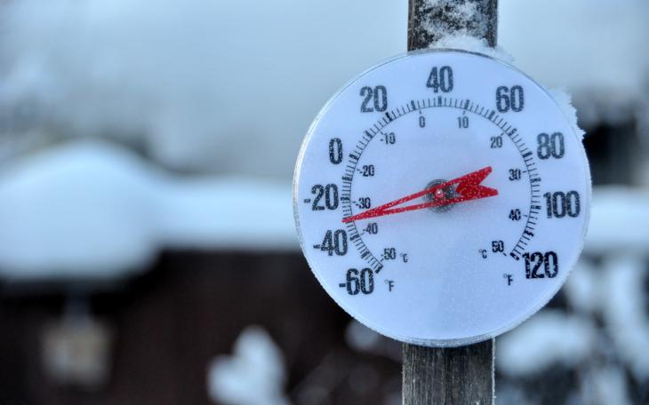
By Monday and Tuesday mornings, lows are forecasted to plummet into the lower to mid-teens, with wind chills several degrees below zero north of the San Angelo to Brownwood line. Afternoon highs on Monday may barely breach the 30s to lower 40s.
Eastern counties in the Concho Valley could see precipitation chances between 70 and 100 percent, while far western and southwestern parts may encounter only slight chances of rainfall.
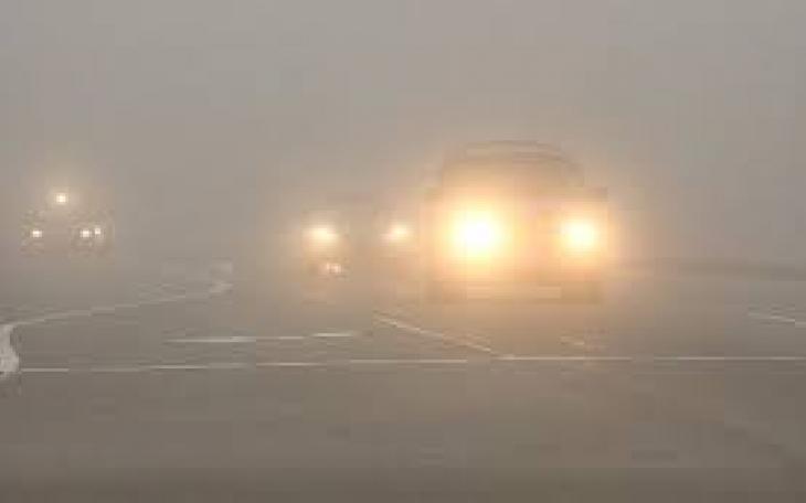
A slightly expedited arrival of the trough coupled with earlier precipitation might yield a brief period of freezing could form with the rain across localized areas.
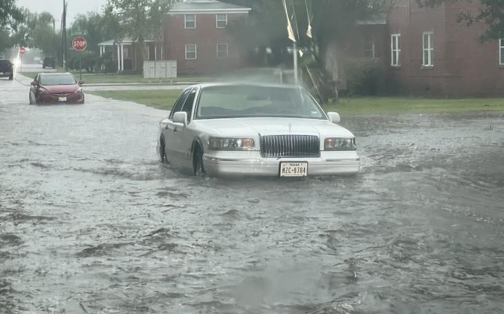
A line of intense thunderstorms swept through San Angelo on Saturday night, unleashing a deluge of rain measuring .63 inches and causing localized flooding in streets and low-lying areas.
While no Watches or Warnings have been issued yet, the National Weather Service office in San Angelo is expecting strong thunderstorms and localized flooding before dawn Sunday morning.
")
")
")
")

")
")

")