
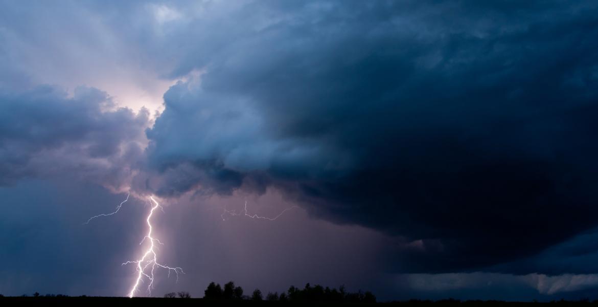
SAN ANGELO, TX – There is a marginal risk of severe thunderstorms across the Concho Valley mainly after midnight Thursday night south of Interstate 20 and north of Interstate 10.
The main weather threat is large hail up to to size of a quarter.
Friday through Wednesday there is a slight risk of severe thunderstorms Friday afternoon and evening, along an west of a Sterling City to Sweetwater to Haskell line.
The rest of West Central Texas has a marginal risk of severe thunderstorms Friday.
The main threats are large hail and damaging winds. A chance of thunderstorms will continue into next week.
According to the National Weather Service office in San Angelo, the forecast calls for showers likely and possibly a thunderstorm overnight. Mostly cloudy, with a low around 59. North northeast wind around 5 mph becoming calm. Chance of precipitation is 70%. New rainfall amounts between a tenth and quarter of an inch, except higher amounts possible in thunderstorms.
On Friday, there is a 50 percent chance of showers and thunderstorms. Cloudy, with a high near 74. East wind around 5 mph. New rainfall amounts of less than a tenth of an inch, except higher amounts possible in thunderstorms.
There is a chance of rain through Wednesday. This is a developing weather situation.


Subscribe to the LIVE! Daily

Required
Post a comment to this article here: