
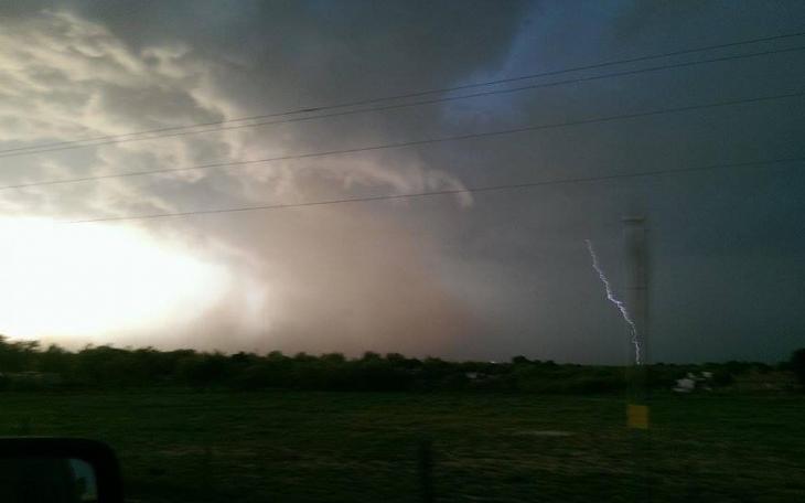
SAN ANGELO, TX -- There is a threat of severe weather in the San Angelo area Friday night into Saturday morning.
The National Weather Service Office in San Angelo says there is a marginal to slight risk of severe thunderstorms tonight, mainly from midnight to around sunrise Saturday morning.
The main risk area lies along and east of a line from Haskell, to San Angelo, to Sonora. Large hail, damaging winds, and deadly lightning are the main hazards.
An upper level disturbance will move across West Central Texas tonight bringing some isolated to scattered thunderstorms.
A few may become severe mainly east of a line from Haskell to Abilene to San Angelo.
Forecasters say the main concerns will be strong gusty winds in the vicinity of thunderstorms, lightning, hail and brief heavy rain.
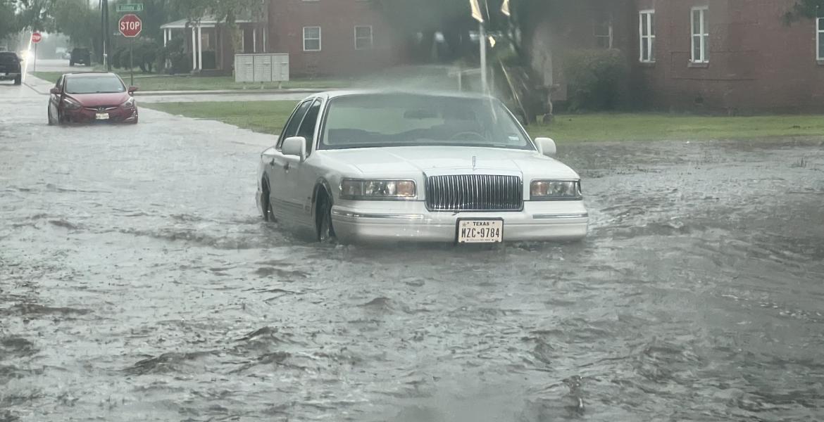
The forecast calls for a 50 percent chance of showers and thunderstorms. Mostly cloudy, with a low around 52. South wind 5 to 10 mph becoming west after midnight.
New rainfall amounts of less than a tenth of an inch, except higher amounts possible in thunderstorms.
This is a developing story.

Subscribe to the LIVE! Daily

Required
Post a comment to this article here: