
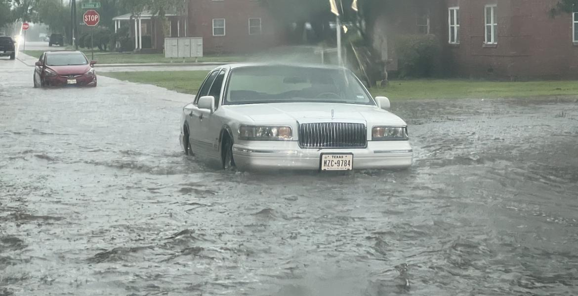
SAN ANGELO, TX -- The threat of additional flooding continues Saturday across the entire Concho Valley.
After Friday's widespread flooding including the city of San Angelo, the National Weather Service office in San Angelo says showers and thunderstorms producing heavy rain are likely again today.
The heavy rainfall, in addition to already saturated soils, will result in an increased flash flood threat.
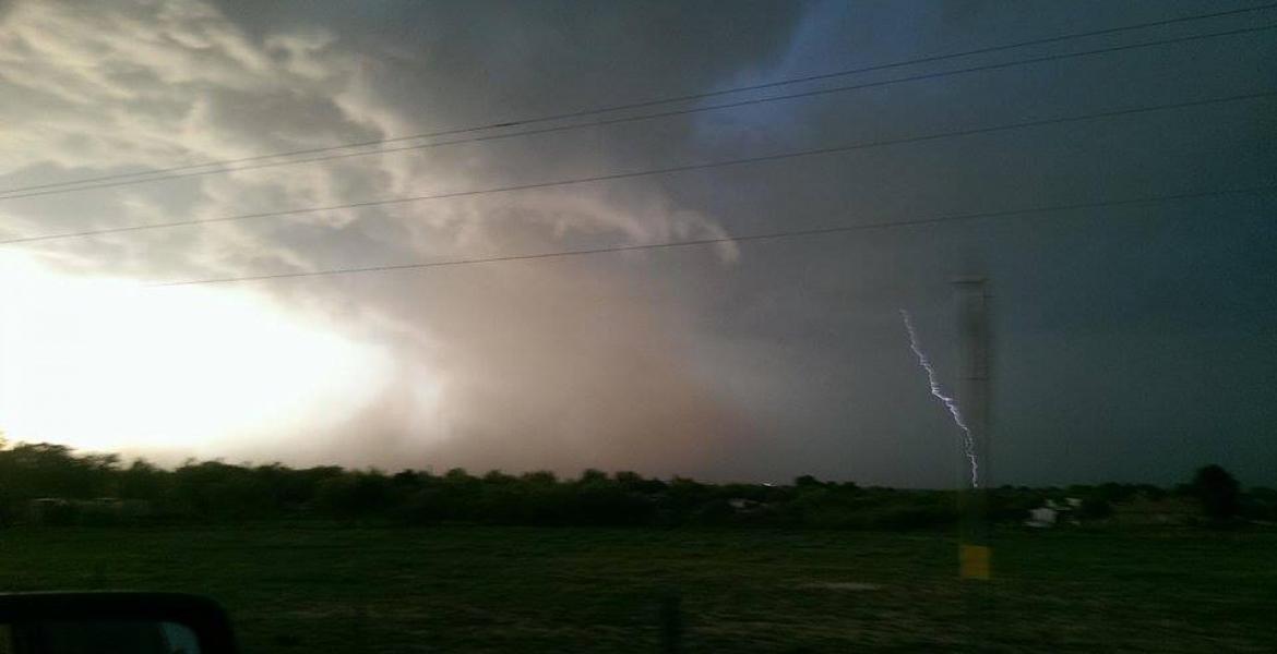
A Flash Flood Watch is in effect for the Northern Edwards Plateau, Northwest Hill Country, Concho Valley and Heartland regions through this afternoon. Deadly lightning will also be a concern.
At 9:30 a.m. Saturday, moderate to heavy rain continues developing over the next several hours.
The heaviest rain will be along and north of the interstate 10 corridor, mainly along a Sonora to Fort McKavett to Brady line. Elsewhere, expect on and off rain showers through the rest of the morning.
Expect 1-1.5" in the heavier rain showers and 0.25-0.50" in the lighter rain showers.
There is a 70 percent chance of rain for the remainder of Saturday.
The flash flood watch continues until 7 p.m.

Subscribe to the LIVE! Daily

Required
Post a comment to this article here: